| Roarback Brook | |
|---|---|
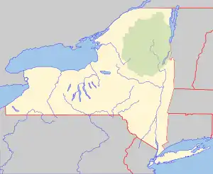 Location of the mouth of Roarback Brook  Roarback Brook (the United States) | |
| Location | |
| Country | United States |
| State | New York |
| Region | Greene County |
| Physical characteristics | |
| Source | |
| • coordinates | 42°14′38″N 74°25′49″W / 42.24389°N 74.43028°W |
| Mouth | West Kill |
• location | WSW of Lexington, New York, United States |
• coordinates | 42°14′06″N 74°23′21″W / 42.23500°N 74.38917°W[1] |
• elevation | 1,362 ft (415 m) |
Roarback Brook begins on the eastern side of Vly Mountain and travels east, passing to the south of Vinegar Hill before converging with West Kill west-southwest of Lexington, New York.
References
This article is issued from Wikipedia. The text is licensed under Creative Commons - Attribution - Sharealike. Additional terms may apply for the media files.