| Roggenstock | |
|---|---|
 The Roggenstock from the south | |
| Highest point | |
| Elevation | 1,778 m (5,833 ft) |
| Prominence | 296 m (971 ft)[1] |
| Coordinates | 47°01′24″N 08°47′23″E / 47.02333°N 8.78972°E |
| Geography | |
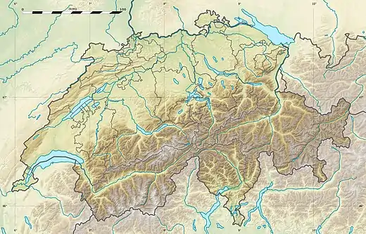 Roggenstock Location in Switzerland | |
| Location | Schwyz, Switzerland |
| Parent range | Schwyzer Alps |
| Climbing | |
| Easiest route | Trail |
The Roggenstock (1,778 m) is a mountain of the Swiss Prealps, located south of Oberiberg in the canton of Schwyz. It lies north of the Hoch-Ybrig area.
References
External links
This article is issued from Wikipedia. The text is licensed under Creative Commons - Attribution - Sharealike. Additional terms may apply for the media files.