Rokupr | |
|---|---|
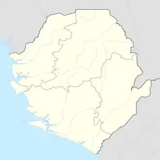 Rokupr Location in Sierra Leone | |
| Coordinates: 09°01′00″N 12°57′00″W / 9.01667°N 12.95000°W | |
| Country | |
| Province | Northern Province |
| District | Kambia District |
| Elevation | 62 ft (18 m) |
| Population (2013) | |
| • Total | 12,744 |
| Time zone | UTC+0 (GMT) |
Rokupr is a small town in Kambia District in the Northern Province of Sierra Leone. As of 2013 it had an estimated population of 12,744.[1]
Geography
Rokupr is located at 9°01′00″N 12°57′00″W / 09.0167°N 12.95°W.[2] It has an average elevation of 18 metres (62 feet).
References
- ↑ "Rokupr". World Gazetteer. Archived from the original on February 9, 2013. Retrieved January 13, 2013.
- ↑ "Rokupr, Sierra Leone Page". Fallingrain Global Gazetteer. Retrieved January 13, 2013.
This article is issued from Wikipedia. The text is licensed under Creative Commons - Attribution - Sharealike. Additional terms may apply for the media files.