Rosebud | |
|---|---|
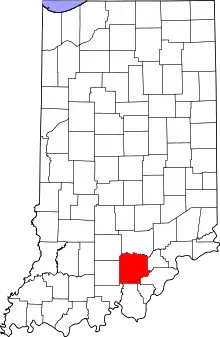 Washington County's location in Indiana | |
 Rosebud Location of Rosebud in Washington County | |
| Coordinates: 38°31′40″N 86°12′43″W / 38.52778°N 86.21194°W | |
| Country | United States |
| State | Indiana |
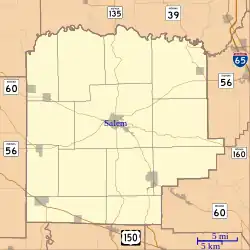
| County | Washington |
| Township | Howard |
| Elevation | 774 ft (236 m) |
| Time zone | UTC-5 (Eastern (EST)) |
| • Summer (DST) | UTC-4 (EDT) |
| ZIP code | 47167 |
| Area code(s) | 812, 930 |
| GNIS feature ID | 442302[1] |
Rosebud is an unincorporated community in Howard Township, Washington County, in the U.S. state of Indiana.[1]
History
A post office was established at Rosebud in 1898, and remained in operation until 1901.[2]
Geography
Rosebud is located at 38°31′40″N 86°12′43″W / 38.52778°N 86.21194°W.
References
- 1 2 3 U.S. Geological Survey Geographic Names Information System: Rosebud, Washington County, Indiana
- ↑ "Washington County". Jim Forte Postal History. Retrieved July 8, 2016.
Municipalities and communities of Washington County, Indiana, United States | ||
|---|---|---|
| City | Map of Indiana highlighting Washington County | |
| Towns | ||
| Townships | ||
| CDPs | ||
| Other communities |
| |
This article is issued from Wikipedia. The text is licensed under Creative Commons - Attribution - Sharealike. Additional terms may apply for the media files.