| Rottachberg | |
|---|---|
 Rottachberg | |
| Highest point | |
| Elevation | 1,115 m (3,658 ft) |
| Prominence | 275 m ↓ Kalchenbach |
| Isolation | 3 km → Grünten |
| Coordinates | 47°35′28″N 10°17′35″E / 47.591°N 10.293°E |
| Geography | |
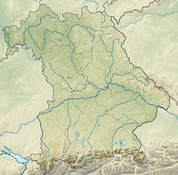
| Parent range | Allgäu Alps |
| Geology | |
| Type of rock | Molasse (Nagelfluh) |
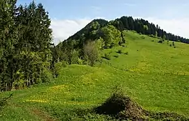
The Rottachberg is a 1115 m high mountain in the Allgäu Alps near Rettenberg. Its summit is known as Falkenstein.
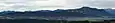 Rottachberg and Grünten from Stoffelberg
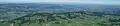 Rottachberg from Grünten
 Falkenstein at Rottachberg
 Pavilion on Gebhardshöhe
Ascend
Two and a half hours walk from Rettenberg to Falkenstein and back.[1] The Falkenstein is a challenging climbing area with UIAA grades VII to XI.[2]
References
This article is issued from Wikipedia. The text is licensed under Creative Commons - Attribution - Sharealike. Additional terms may apply for the media files.