Rumo | |
|---|---|
| Comune di Rumo | |
Location of Rumo | |
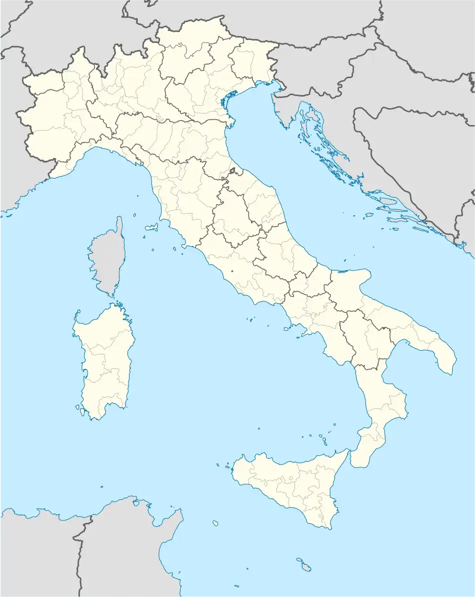 Rumo Location of Rumo in Italy 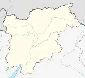 Rumo Rumo (Trentino-Alto Adige/Südtirol) | |
| Coordinates: 46°27′N 11°1′E / 46.450°N 11.017°E | |
| Country | Italy |
| Region | Trentino-Alto Adige/Südtirol |
| Province | Trentino (TN) |
| Frazioni | Lanza, Mocenigo, Corte Superiore, Corte Inferiore, Marcena, Mione |
| Government | |
| • Mayor | Michela Noletti |
| Area | |
| • Total | 30.8 km2 (11.9 sq mi) |
| Elevation | 950 - 1,111 m (−2,695 ft) |
| Population (Dec. 2004)[2] | |
| • Total | 833 |
| • Density | 27/km2 (70/sq mi) |
| Time zone | UTC+1 (CET) |
| • Summer (DST) | UTC+2 (CEST) |
| Postal code | 38020 |
| Dialing code | 0463 |
Rumo (Rum in local dialect) is a comune (municipality) in Trentino in the northern Italian region Trentino-Alto Adige/Südtirol, located about 45 kilometres (28 mi) north of Trento. As of 31 December 2004, it had a population of 833 and an area of 30.8 square kilometres (11.9 sq mi).[3]
Rumo borders the following municipalities: Ulten, Proveis, Bresimo, Cagnò, Revò and Livo.
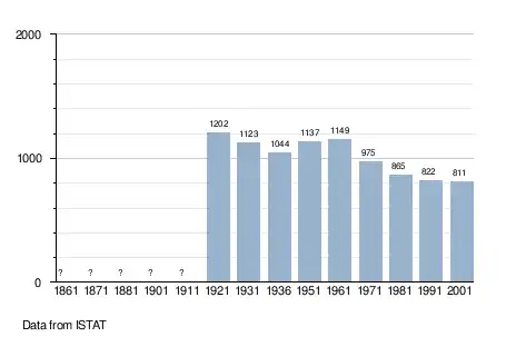
Demographic evolution
References
- ↑ "Superficie di Comuni Province e Regioni italiane al 9 ottobre 2011". Italian National Institute of Statistics. Retrieved 16 March 2019.
- ↑ "Popolazione Residente al 1° Gennaio 2018". Italian National Institute of Statistics. Retrieved 16 March 2019.
- ↑ All demographics and other statistics: Italian statistical institute Istat.

This article is issued from Wikipedia. The text is licensed under Creative Commons - Attribution - Sharealike. Additional terms may apply for the media files.