Rushville, Pennsylvania | |
|---|---|
Unincorporated community | |
 Rushville | |
| Coordinates: 41°46′57″N 76°07′20″W / 41.78250°N 76.12222°W | |
| Country | United States |
| State | Pennsylvania |
| County | Susquehanna |
| Elevation | 873 ft (266 m) |
| Time zone | UTC-5 (Eastern (EST)) |
| • Summer (DST) | UTC-4 (EDT) |
| ZIP code | 18828[1] |
| Area code(s) | 272 & 570 |
| GNIS feature ID | 1204562[2] |
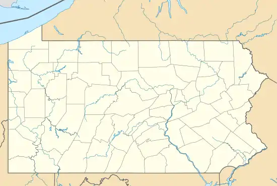
Rushville is an unincorporated community in Susquehanna County, Pennsylvania, United States.[2] The community is located along Pennsylvania Route 706, 13.1 miles (21.1 km) west-southwest of Montrose. Rushville had a post office until October 5, 2002.[3]
References
- ↑ United States Postal Service. "USPS - Look Up a ZIP Code". Retrieved August 15, 2017.
- 1 2 "Rushville". Geographic Names Information System. United States Geological Survey, United States Department of the Interior.
- ↑ "Postmaster Finder - Post Offices by ZIP Code". United States Postal Service. Retrieved August 15, 2017.
Municipalities and communities of Susquehanna County, Pennsylvania, United States | ||
|---|---|---|
| Boroughs | 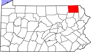 | |
| Townships | ||
| Unincorporated communities | ||
This article is issued from Wikipedia. The text is licensed under Creative Commons - Attribution - Sharealike. Additional terms may apply for the media files.