Söğütlü | |
|---|---|
District and municipality | |
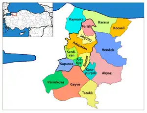 Map showing Söğütlü District in Sakarya Province | |
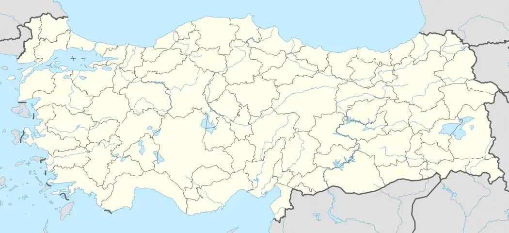 Söğütlü Location in Turkey 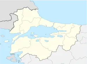 Söğütlü Söğütlü (Marmara) | |
| Coordinates: 40°54′N 30°29′E / 40.900°N 30.483°E | |
| Country | Turkey |
| Province | Sakarya |
| Government | |
| • Mayor | Koray Oktay Özten (AKP) |
| Area | 145 km2 (56 sq mi) |
| Population (2022)[1] | 14,724 |
| • Density | 100/km2 (260/sq mi) |
| Time zone | TRT (UTC+3) |
| Postal code | 54160 |
| Area code | 0264 |
| Climate | Cfa |
| Website | www |
Söğütlü is a municipality and district of Sakarya Province, Turkey.[2] Its area is 145 km2,[3] and its population is 14,724 (2022).[1] The mayor is Koray Oktay Özten (AKP).

Harmantepe castle in Söğütlü district
Composition
There are 23 neighbourhoods in Söğütlü District:[4]
- Akarca
- Akçakamış
- Akgöl
- Beşdeğirmen
- Camicedid
- Fındıklı
- Gündoğan
- Hasanfakı
- İmamlar
- Kantar
- Karateke
- Küçüksöğütlü
- Kurudil
- Levent
- Mağara
- Maksudiye
- Orta
- Rüstemler
- Sıraköy
- Soğucak
- Tokmaklıdere
- Türkbeylikkışla
- Yeniköy
References
- 1 2 "Address-based population registration system (ADNKS) results dated 31 December 2022, Favorite Reports" (XLS). TÜİK. Retrieved 19 September 2023.
- ↑ Büyükşehir İlçe Belediyesi, Turkey Civil Administration Departments Inventory. Retrieved 19 September 2023.
- ↑ "İl ve İlçe Yüz ölçümleri". General Directorate of Mapping. Retrieved 19 September 2023.
- ↑ Mahalle, Turkey Civil Administration Departments Inventory. Retrieved 19 September 2023.
Söğütlü in Sakarya Province of Turkey | |||||||||||||||||||||||||||
|---|---|---|---|---|---|---|---|---|---|---|---|---|---|---|---|---|---|---|---|---|---|---|---|---|---|---|---|
| Districts | Districts of Sakarya | ||||||||||||||||||||||||||
| |||||||||||||||||||||||||||
Metropolitan municipalities are bolded. | |||||||||||||||||||||||||||
This article is issued from Wikipedia. The text is licensed under Creative Commons - Attribution - Sharealike. Additional terms may apply for the media files.