Sadeyaka | |
|---|---|
 Sadeyaka and its villages | |
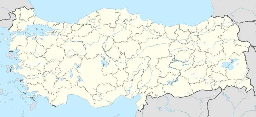 Sadeyaka Location in Turkey | |
| Coordinates: 40°53′N 32°39′E / 40.883°N 32.650°E | |
| Country | Turkey |
| Province | Karabük |
| District | Eskipazar |
| Elevation | 1,040 m (3,410 ft) |
| Population (2022) | 132 |
| Time zone | TRT (UTC+3) |
Sadeyaka is a village in Eskipazar District, Karabük Province, Turkey.[1] Its population is 132 (2022).[2] The hamlets Kısaç, Saraycık and Şeyhler (Şıhlar) are administratively part of Sadeyaka.[3]
History
| Year | Pop. | ±% p.a. |
|---|---|---|
| 1965 | 711 | — |
| 1970 | 693 | −0.51% |
| 1980 | 521 | −2.81% |
| 1990 | 468 | −1.07% |
| 1997 | 313 | −5.58% |
| 2007 | 179 | −5.43% |
| 2012 | 160 | −2.22% |
| 2017 | 137 | −3.06% |
| 2022 | 132 | −0.74% |
| Source: Population censuses (1965-1997)[4][5][6][7][8] and TÜIK (2007-2022)[2] | ||
The village was administered by Çankırı until 1995, when Karabük became a province. Drinking water infrastructe has been completed in 2008.[9]
Culture
It has local food such as cizleme, kaz bandırması and arpa-buğday gavurgası. Miyane helvası and nişasta helvası (White Helva) is a tradition on religious holidays. There is a türbe in Şeyhler village built for Sheikh Ali Semerkandi. His grave is in Çamlıdere, Ankara, but there is a water well called "Sığırcık Suyu" dedicated to him.[10][11]
Geography
Village center is 51 km away from Karabük, and 16 km from Eskipazar. It has oceanic climate.
 Üçoluk fountain near village, 2015
 Sadeyaka in 2011
Local governance
The muhtars with their election dates are:
References
- ↑ Köy, Turkey Civil Administration Departments Inventory. Retrieved 1 March 2023.
- 1 2 "Population Of Municipalities, Villages And Quarters". TÜIK. Retrieved 24 March 2023.
- ↑ Mahalle, Turkey Civil Administration Departments Inventory. Retrieved 11 April 2023.
- ↑ "1965 General Census" (PDF) (in Turkish). Turkish Statistical Institute. 1965. Archived (PDF) from the original on 31 May 2022.
- ↑ "1970 General Census" (PDF) (in Turkish). Turkish Statistical Institute. 1970. Archived (PDF) from the original on 10 August 2022.
- ↑ "1980 General Census" (PDF) (in Turkish). Turkish Statistical Institute. 1980. Archived (PDF) from the original on 17 June 2022.
- ↑ "1990 General Census" (PDF) (in Turkish). Turkish Statistical Institute. 1991. Archived (PDF) from the original on 31 August 2021.
- ↑ "1997 Population Count" (PDF) (in Turkish). Turkish Statistical Institute. 1999. Archived (PDF) from the original on 30 October 2022.
- ↑ "Biten Projeler (1/3)". Uniform Mühendislik (in Turkish). Retrieved 9 November 2015.
- ↑ "Şeyh Ali Semerkandi Hz" (in Turkish). Retrieved 9 November 2015.
Bu su; hâlen Çamlıdere'nin kuzeyinde, Gerede'nin doğusunda, Eskipazar'ın güneyinde bulunmaktadır.
- ↑ "Sığırcık (Çekirge) Suyu". Retrieved 4 February 2021.
| Municipalities | |
|---|---|
| Villages |
|