Sahana | |
|---|---|
Village | |
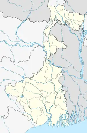 Sahana Location in West Bengal, India  Sahana Sahana (India) | |
| Coordinates: 22°45′40″N 88°15′50″E / 22.7612°N 88.2640°E | |
| Country | |
| State | West Bengal |
| District | Hooghly |
| Government | |
| • Body | Gram panchayat |
| Population (2011) | |
| • Total | 1,944 |
| Languages | |
| • Official | Bengali, English |
| Time zone | UTC+5:30 (IST) |
| ISO 3166 code | IN-WB |
| Vehicle registration | WB |
| Website | wb |
Sahana is a village in Chanditala II community development block of Srirampore subdivision in Hooghly district in the Indian state of West Bengal.[1]
Geography
Sahana is located at 22°45′40″N 88°15′50″E / 22.7612°N 88.2640°E. Chanditala police station serves this Village.
Gram panchayat
Villages and census towns in Kapasaria gram panchayat are: Kapashanria, Okardaha, Sahana, Sanka and Tisa.[2]
Demographics
As per 2011 Census of India, Sahana had a total population of 1,944 of which 921 (47%) were males and 1,023 (53%) were females. Population below 6 years was 263. The total number of literates in Sahana was 1,340 (79.71% of the population over 6 years).[3]
Transport
The nearest railway station, Baruipara railway station, is 27 kilometres (17 mi) from Howrah on the Howrah-Bardhaman chord line and is a part of the Kolkata Suburban Railway system.[4]
The main road is NH-19 (old number NH 2)/ Durgapur Exptressway. It is the main artery of the village.[5]
References
- ↑ "Mouza Information". Land & Land Reforms Department, Government of West Bengal. Archived from the original on 22 December 2016.
- ↑ "Okardaha". Indian Village Directory. Retrieved 18 October 2018.
- ↑ "C.D. Block Wise Primary Census Abstract Data(PCA)". 2011 census: West Bengal – District-wise CD Blocks. Registrar General and Census Commissioner, India. Retrieved 7 October 2018.
- ↑ "36811 Howrah Bardhaman Local (via Chord)". indiarailinfo. Retrieved 6 October 2018.
- ↑ Google maps
Cities, towns and locations in Hooghly district | |||||||||
|---|---|---|---|---|---|---|---|---|---|
| Cities, municipalities and census towns |
| ||||||||
| Locations other than cities and towns |
| ||||||||
| Neighbourhoods | |||||||||
| Related topics |
| ||||||||