Saint-Adrien | |
|---|---|
 | |
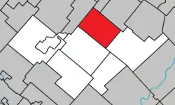 Location within Les Sources RCM | |
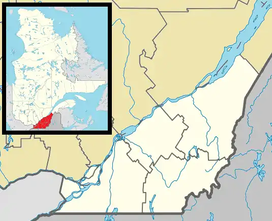 Saint-Adrien Location in southern Quebec | |
| Coordinates: 45°49′N 71°43′W / 45.82°N 71.72°W[1] | |
| Country | |
| Province | |
| Region | Estrie |
| RCM | Les Sources |
| Constituted | January 1, 1879 |
| Government | |
| • Mayor | Pierre Therrien |
| • Federal riding | Richmond—Arthabaska |
| • Prov. riding | Richmond |
| Area | |
| • Total | 98.80 km2 (38.15 sq mi) |
| • Land | 98.71 km2 (38.11 sq mi) |
| Population (2016)[3] | |
| • Total | 522 |
| • Density | 5.3/km2 (14/sq mi) |
| • Pop 2011-2016 | |
| Time zone | UTC−5 (EST) |
| • Summer (DST) | UTC−4 (EDT) |
| Postal code(s) | |
| Area code | 819 |
| Highways | |
| Website | www |
Saint-Adrien is a municipality located in the Estrie region of Quebec, Canada.
References
- ↑ "Banque de noms de lieux du Québec: Reference number 55498". toponymie.gouv.qc.ca (in French). Commission de toponymie du Québec.
- 1 2 "Répertoire des municipalités: Geographic code 40010". www.mamh.gouv.qc.ca (in French). Ministère des Affaires municipales et de l'Habitation.
- 1 2 "Census Profile, 2016 Census - Saint-Adrien, Municipalité [Census subdivision], Quebec and Quebec [Province]". 8 February 2017.
External links
 Media related to Saint-Adrien, Quebec at Wikimedia Commons
Places adjacent to Saint-Adrien, Quebec | ||||||||||||||||
|---|---|---|---|---|---|---|---|---|---|---|---|---|---|---|---|---|
| ||||||||||||||||
| Cities | |
|---|---|
| Municipalities | |
| Townships | |
| |
This article is issued from Wikipedia. The text is licensed under Creative Commons - Attribution - Sharealike. Additional terms may apply for the media files.