Saint-Gérand
Sant-Jelan | |
|---|---|
Part of Saint-Gérand-Croixanvec | |
Location of Saint-Gérand | |
 Saint-Gérand 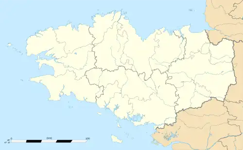 Saint-Gérand | |
| Coordinates: 48°06′33″N 2°53′13″W / 48.1092°N 2.8869°W | |
| Country | France |
| Region | Brittany |
| Department | Morbihan |
| Arrondissement | Pontivy |
| Canton | Pontivy |
| Commune | Saint-Gérand-Croixanvec |
| Area 1 | 18.05 km2 (6.97 sq mi) |
| Population (2019)[1] | 1,144 |
| • Density | 63/km2 (160/sq mi) |
| Time zone | UTC+01:00 (CET) |
| • Summer (DST) | UTC+02:00 (CEST) |
| Postal code | 56920 |
| Elevation | 82–151 m (269–495 ft) |
| 1 French Land Register data, which excludes lakes, ponds, glaciers > 1 km2 (0.386 sq mi or 247 acres) and river estuaries. | |
Saint-Gérand (French pronunciation: [sɛ̃ ʒeʁɑ̃]; Breton: Sant-Jelan) is a former commune in the Morbihan department of Brittany in north-western France.[2] It is close to the larger town of Pontivy. On 1 January 2022, it was merged into the new commune Saint-Gérand-Croixanvec.[3]
Demographics
Inhabitants of Saint-Gérand are called in French Géranais.
See also
References
External links
Wikimedia Commons has media related to Saint-Gérand.
- Base Mérimée: Search for heritage in the commune, Ministère français de la Culture. (in French)
This article is issued from Wikipedia. The text is licensed under Creative Commons - Attribution - Sharealike. Additional terms may apply for the media files.