Saint-Isidore | |
|---|---|
.jpg.webp) Church of Saint-Isidore | |
_Quebec_location_diagram.png.webp) Location within La Nouvelle-Beauce RCM | |
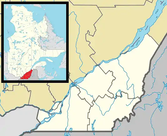 Saint-Isidore Location in southern Quebec | |
| Coordinates: 46°35′N 71°06′W / 46.583°N 71.100°W[1] | |
| Country | Canada |
| Province | Quebec |
| Region | Chaudière-Appalaches |
| RCM | La Nouvelle-Beauce |
| Constituted | September 22, 1993 |
| Government | |
| • Mayor | Réal Turgeon |
| • Federal riding | Beauce |
| • Prov. riding | Beauce-Nord |
| Area | |
| • Total | 102.40 km2 (39.54 sq mi) |
| • Land | 102.61 km2 (39.62 sq mi) |
| There is an apparent contradiction between two authoritative sources. | |
| Population (2021)[3] | |
| • Total | 3,286 |
| • Density | 32/km2 (80/sq mi) |
| • Pop 2016-2021 | |
| • Dwellings | 1,406 |
| Time zone | UTC−5 (EST) |
| • Summer (DST) | UTC−4 (EDT) |
| Postal code(s) | |
| Area code(s) | 418 and 581 |
| Highways | |
| Website | www |
Saint-Isidore is a municipality in La Nouvelle-Beauce Regional County Municipality in the Chaudière-Appalaches region of Quebec, Canada. Its population was 3,286 as of the Canada 2021 Census. Founded in 1855, it is named after Isidore of Seville.
References
- ↑ "Banque de noms de lieux du Québec: Reference number 285686". toponymie.gouv.qc.ca (in French). Commission de toponymie du Québec.
- 1 2 "Data table, Census Profile, 2021 Census of Population - Saint-Isidore, Municipalité (MÉ) [Census subdivision], Quebec". 9 February 2022.
- 1 2 "Saint-Isidore, Chaudière-Appalaches, Quebec (Code 2426063) Census Profile". 2011 census. Government of Canada - Statistics Canada.
External links
 Media related to Saint-Isidore, Chaudière-Appalaches, Quebec at Wikimedia Commons
- Commission de toponymie du Québec
- Ministère des Affaires municipales, des Régions et de l'Occupation du territoire
Places adjacent to Saint-Isidore, Chaudière-Appalaches, Quebec | |
|---|---|
| Cities & Towns | |
|---|---|
| Municipalities | |
| Parishes | |
| |
This article is issued from Wikipedia. The text is licensed under Creative Commons - Attribution - Sharealike. Additional terms may apply for the media files.