Saint-Just-de-Bretenières | |
|---|---|
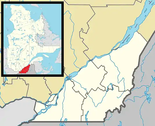
 Location within Montmagny RCM. | |
 Saint-Just-de-Bretenières Location in province of Quebec. | |
| Coordinates: 46°34′N 70°06′W / 46.567°N 70.100°W[1] | |
| Country | |
| Province | |
| Region | Chaudière-Appalaches |
| RCM | Montmagny |
| Constituted | May 27, 1918 |
| Government | |
| • Mayor | Réal Bolduc |
| • Federal riding | Montmagny—L'Islet— Kamouraska—Rivière- du-Loup |
| • Prov. riding | Côte-du-Sud |
| Area | |
| • Total | 133.10 km2 (51.39 sq mi) |
| • Land | 132.63 km2 (51.21 sq mi) |
| Population | |
| • Total | 668 |
| • Density | 5/km2 (10/sq mi) |
| • Pop 2011-2016 | |
| • Dwellings | 400 |
| Time zone | UTC−5 (EST) |
| • Summer (DST) | UTC−4 (EDT) |
| Postal code(s) | |
| Area code(s) | 418 and 581 |
| Highways | |
| Website | www.saintjust debretenieres.com |
Saint-Just-de-Bretenières is a municipality in Quebec. It is located on the Canada–United States border.
See also
References
- ↑ "Banque de noms de lieux du Québec: Reference number 57022". toponymie.gouv.qc.ca (in French). Commission de toponymie du Québec.
- 1 2 "Répertoire des municipalités: Geographic code 18005". www.mamh.gouv.qc.ca (in French). Ministère des Affaires municipales et de l'Habitation.
- 1 2 "Census Profile, 2016 Census - Saint-Just-de-Bretenières, Municipalité [Census subdivision], Quebec and Quebec [Province]". 8 February 2017.
Adjacent Municipal Subdivisions | ||||||||||||||||
|---|---|---|---|---|---|---|---|---|---|---|---|---|---|---|---|---|
| ||||||||||||||||
| Cities & Towns | |
|---|---|
| Municipalities | |
| Parishes | |
| |
This article is issued from Wikipedia. The text is licensed under Creative Commons - Attribution - Sharealike. Additional terms may apply for the media files.