Saint-Pierre-de-Mézoargues | |
|---|---|
 The church in Saint-Pierre-de-Mézoargues | |
.svg.png.webp) Coat of arms | |
Location of Saint-Pierre-de-Mézoargues | |
 Saint-Pierre-de-Mézoargues 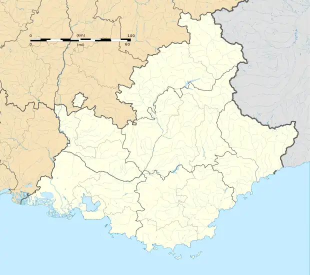 Saint-Pierre-de-Mézoargues | |
| Coordinates: 43°51′35″N 4°38′59″E / 43.8597°N 4.6497°E | |
| Country | France |
| Region | Provence-Alpes-Côte d'Azur |
| Department | Bouches-du-Rhône |
| Arrondissement | Arles |
| Canton | Châteaurenard |
| Intercommunality | CA Arles-Crau-Camargue-Montagnette |
| Government | |
| • Mayor (2020–2026) | Laurie Pons[1] |
| Area 1 | 4.13 km2 (1.59 sq mi) |
| Population | 223 |
| • Density | 54/km2 (140/sq mi) |
| Time zone | UTC+01:00 (CET) |
| • Summer (DST) | UTC+02:00 (CEST) |
| INSEE/Postal code | 13061 /13150 |
| Elevation | 9–18 m (30–59 ft) (avg. 12 m or 39 ft) |
| 1 French Land Register data, which excludes lakes, ponds, glaciers > 1 km2 (0.386 sq mi or 247 acres) and river estuaries. | |
Saint-Pierre-de-Mézoargues (French pronunciation: [sɛ̃ pjɛʁ də mezoaʁg]; Occitan: Sant Pèire de Mesoarga) is a commune in the Bouches-du-Rhône department in southern France.
Population
| Year | Pop. | ±% p.a. |
|---|---|---|
| 1968 | 204 | — |
| 1975 | 182 | −1.62% |
| 1982 | 215 | +2.41% |
| 1990 | 217 | +0.12% |
| 1999 | 225 | +0.40% |
| 2007 | 257 | +1.68% |
| 2012 | 232 | −2.03% |
| 2017 | 207 | −2.25% |
| Source: INSEE[3] | ||
See also
References
- ↑ "Répertoire national des élus: les maires" (in French). data.gouv.fr, Plateforme ouverte des données publiques françaises. 13 September 2022.
- ↑ "Populations légales 2021". The National Institute of Statistics and Economic Studies. 28 December 2023.
- ↑ Population en historique depuis 1968, INSEE
Wikimedia Commons has media related to Saint-Pierre-de-Mezoargues.
This article is issued from Wikipedia. The text is licensed under Creative Commons - Attribution - Sharealike. Additional terms may apply for the media files.