Samberigi Airport | |||||||||||
|---|---|---|---|---|---|---|---|---|---|---|---|
| Summary | |||||||||||
| Location | Samberigi, Papua New Guinea | ||||||||||
| Elevation AMSL | 3,800 ft / 1,158 m | ||||||||||
| Coordinates | 6°43.33′S 143°56.12′E / 6.72217°S 143.93533°E | ||||||||||
| Map | |||||||||||
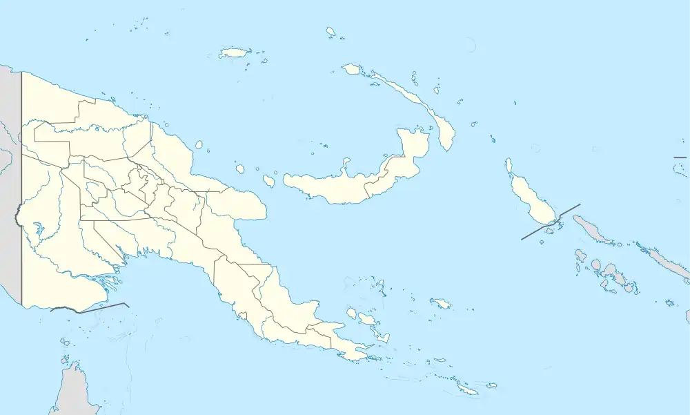 AYSM Location of airport in Papua New Guinea | |||||||||||
| Runways | |||||||||||
| |||||||||||
Source: PNG Airstrip Guide[1] | |||||||||||
Samberigi Airport is an airfield serving Samberigi, in the Southern Highlands Province of Papua New Guinea.[1]
It is a one-way airstrip on the slopes of Mt Murray.
References
- 1 2 PNG Airstrip Guide. August 2005.
This article is issued from Wikipedia. The text is licensed under Creative Commons - Attribution - Sharealike. Additional terms may apply for the media files.