San Isabel, Colorado | |
|---|---|
 San Isabel, with Lake Isabel in the foreground. | |
 San Isabel, Colorado Location within the state of Colorado | |
| Coordinates: 37°59′15″N 105°03′16″W / 37.98750°N 105.05444°W | |
| Country | |
| State | |
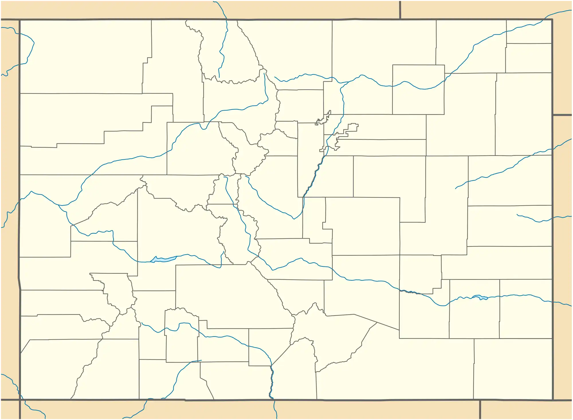
| County | Custer |
| Elevation | 8,514 ft (2,595 m) |
| Time zone | UTC-7 (MST) |
| • Summer (DST) | UTC-6 (MDT) |
| ZIP code | 81069 |
San Isabel is an unincorporated community in Custer County, Colorado, United States. The town is located on the north side of Lake Isabel and alongside Colorado State Highway 165. Businesses in town cater to visitors to the adjacent Lake Isabel Recreation Area.[2]
Geography
San Isabel is located at 37°59′15″N 105°03′16″W / 37.98750°N 105.05444°W (37.9875068 -105.0544361). It is in Colorado's Wet Mountains and is surrounded by the San Isabel National Forest.
References
- ↑ "San Isabel". Geographic Names Information System. United States Geological Survey, United States Department of the Interior.
- ↑ "Custer County Master Plan" (PDF). Custer County Government. July 6, 2010. Retrieved May 8, 2018.
San Isabel is located along SH 165. Commercial recreation activities associated with Lake San Isabel, as well as residential use, occur on lots of less than 10 acres in the San Isabel area.
Municipalities and communities of Custer County, Colorado, United States | ||
|---|---|---|
| Towns |  Map of Colorado highlighting Custer County | |
| Unincorporated communities | ||
| Ghost towns | ||
This article is issued from Wikipedia. The text is licensed under Creative Commons - Attribution - Sharealike. Additional terms may apply for the media files.