San Pedro Totolapa | |
|---|---|
Municipality and town | |
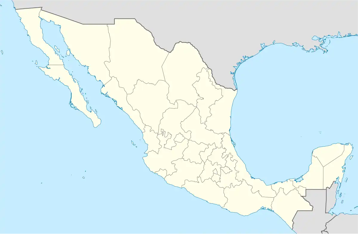 San Pedro Totolapa Location in Mexico | |
| Coordinates: 16°40′N 96°18′W / 16.667°N 96.300°W | |
| Country | |
| State | Oaxaca |
| Time zone | UTC-6 (Central Standard Time) |
| • Summer (DST) | UTC-5 (Central Daylight Time) |
San Pedro Totolapa is a town and municipality in Oaxaca in south-western Mexico. It is part of the Tlacolula District in the east of the Valles Centrales Region.
As of 2010, the municipality had a total population of 2,603.[1]
References
This article is issued from Wikipedia. The text is licensed under Creative Commons - Attribution - Sharealike. Additional terms may apply for the media files.