San Vito di Cadore | |
|---|---|
| Comune di San Vito di Cadore | |
 | |
 Coat of arms | |
Location of San Vito di Cadore | |
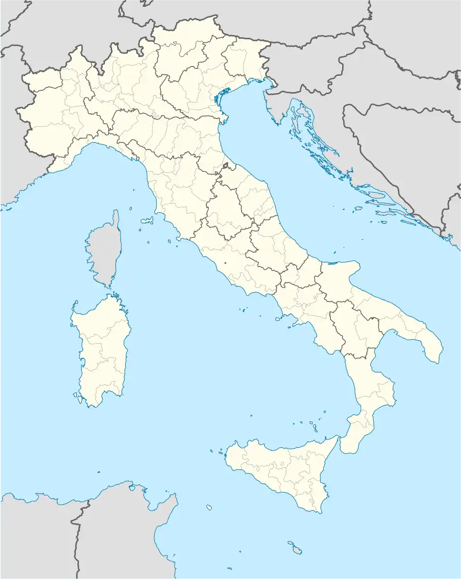 San Vito di Cadore Location of San Vito di Cadore in Italy 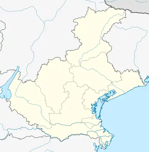 San Vito di Cadore San Vito di Cadore (Veneto) | |
| Coordinates: 46°27′N 12°13′E / 46.450°N 12.217°E | |
| Country | Italy |
| Region | Veneto |
| Province | Belluno (BL) |
| Government | |
| • Mayor | Emanuele Caruzzo |
| Area | |
| • Total | 61 km2 (24 sq mi) |
| Elevation | 1,011 m (3,317 ft) |
| Population (2018-01-01)[2] | |
| • Total | 1,718 |
| • Density | 28/km2 (73/sq mi) |
| Demonym | Sanvitesi |
| Time zone | UTC+1 (CET) |
| • Summer (DST) | UTC+2 (CEST) |
| Postal code | 32046 |
| Dialing code | 0436 |
| Patron saint | St. Vitus |
| Saint day | June 15 |
| Website | Official website |
San Vito di Cadore is a small town and comune in the province of Belluno in the Italian region of Veneto in the Dolomites. The distance to Cortina d'Ampezzo measures 9 kilometres (6 mi). The nearest mountain is Monte Antelao.
The town is a year-round tourist destination. It is the last town before Cortina d'Ampezzo on the SS51 Alemagna State Road that connects Belluno to Toblach.

view of the town
Twin towns / Sister cities
References
- ↑ "Superficie di Comuni Province e Regioni italiane al 9 ottobre 2011". Italian National Institute of Statistics. Retrieved 16 March 2019.
- ↑ "Popolazione Residente al 1° Gennaio 2018". Italian National Institute of Statistics. Retrieved 16 March 2019.
This article is issued from Wikipedia. The text is licensed under Creative Commons - Attribution - Sharealike. Additional terms may apply for the media files.