Santa Fé Airport | |||||||||||
|---|---|---|---|---|---|---|---|---|---|---|---|
| Summary | |||||||||||
| Airport type | Closed | ||||||||||
| Serves | Santa Fé, Argentina | ||||||||||
| Elevation AMSL | 43 ft / 13 m | ||||||||||
| Coordinates | 31°39′34″S 60°48′53″W / 31.65944°S 60.81472°W | ||||||||||
| Map | |||||||||||
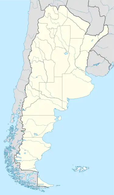 SAFE Location of airport in Argentina | |||||||||||
| Runways | |||||||||||
| |||||||||||
Santa Fé Airport (ICAO: SAFE) was a public use airport located 10 kilometres (6 mi) west-southwest of Santa Fé, Santa Fe, Argentina.
Google Earth Historical Imagery (4/18/2002) and current Google Maps[2] show the former runway under varying degrees of water in a generally marshy area.
See also
References
- ↑ Airport record for Santa Fé Airport at Landings.com. Retrieved 2013-08-06
- 1 2 "Santa Fe Airport". Google Maps. Retrieved 20 April 2019.
This article is issued from Wikipedia. The text is licensed under Creative Commons - Attribution - Sharealike. Additional terms may apply for the media files.