Sarangpur tehsil | |
|---|---|
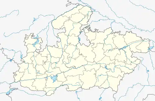 Sarangpur tehsil Location in Madhya Pradesh  Sarangpur tehsil Sarangpur tehsil (India) | |
| Coordinates: 23°34′N 76°28′E / 23.57°N 76.47°E | |
| Country | |
| State | Madhya Pradesh |
| District | Raisen district |
| Government | |
| • Type | Janpad Panchayat |
| • Body | Council |
| Languages | |
| • Official | Hindi |
| Time zone | UTC+5:30 (IST) |
| Postal code (PIN) | 465697 |
| ISO 3166 code | MP-IN |
Sarangpur tehsil is a tehsil in Rajgarh district, Madhya Pradesh, India. It is also a subdivision of the administrative and revenue division of bhopal district of Madhya Pradesh.[1]
Demographics
References
- ↑ "Census of India 2001: Data from the 2001 Census, including cities, villages and towns (Provisional)". Census Commission of India. Archived from the original on 16 June 2004. Retrieved 10 August 2022.
This article is issued from Wikipedia. The text is licensed under Creative Commons - Attribution - Sharealike. Additional terms may apply for the media files.