Sawla | |
|---|---|
District Capital | |
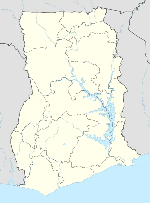 Sawla Location of Sawla in Savannah Region | |
| Coordinates: 9°17′N 2°25′W / 9.283°N 2.417°W | |
| Country | Ghana |
| Region | Savannah Region |
| District | Sawla-Tuna-Kalba District |
| Government | |
| Elevation | 331 m (1,086 ft) |
| Population (2017) | |
| • Total | 10,555 |
| Time zone | GMT |
| • Summer (DST) | GMT |
Sawla is a small town in the Savannah Region of Ghana. It is also the capital of Sawla-Tuna-Kalba district.[1]
Transport
Train
Climate
| Climate data for Sawla, Ghana | |||||||||||||
|---|---|---|---|---|---|---|---|---|---|---|---|---|---|
| Month | Jan | Feb | Mar | Apr | May | Jun | Jul | Aug | Sep | Oct | Nov | Dec | Year |
| Mean daily maximum °C (°F) | 38 (100) |
39 (102) |
40 (104) |
39 (102) |
36 (97) |
34 (93) |
31 (88) |
29 (84) |
30 (86) |
33 (91) |
36 (97) |
37 (99) |
35 (95) |
| Mean daily minimum °C (°F) | 20 (68) |
23 (73) |
26 (79) |
26 (79) |
24 (75) |
23 (73) |
22 (72) |
22 (72) |
22 (72) |
23 (73) |
23 (73) |
22 (72) |
23 (73) |
| Average precipitation mm (inches) | 0 (0) |
25 (1.0) |
49 (1.9) |
88 (3.5) |
123 (4.8) |
140 (5.5) |
206 (8.1) |
365 (14.4) |
306 (12.0) |
140 (5.5) |
16 (0.6) |
1 (0.0) |
1,459 (57.3) |
| Average precipitation days | 0 | 1 | 2 | 4 | 4 | 7 | 11 | 15 | 16 | 8 | 1 | 0 | 69 |
| Average relative humidity (%) | 17 | 27 | 43 | 52 | 62 | 71 | 78 | 83 | 84 | 73 | 50 | 23 | 55 |
| Mean monthly sunshine hours | 371 | 337 | 365 | 353 | 354 | 320 | 275 | 258 | 279 | 350 | 358 | 371 | 3,991 |
| Average ultraviolet index | 8 | 8 | 8 | 7 | 7 | 6 | 6 | 6 | 6 | 7 | 8 | 7 | 7 |
| Source: [3] | |||||||||||||
References
- ↑ Sawla-Tuna-Kalba district
- ↑ "Projects - Western Line Expansion Routes - Frontier Rails Limited". frontierail.com. Retrieved 2023-01-24.
- ↑ "Sawla Climate Weather Averages". World Weather Online. Retrieved 30 June 2022.
| Municipal (2) |
| .png.webp) |
|---|---|---|
| Ordinary (5) |
| |
This article is issued from Wikipedia. The text is licensed under Creative Commons - Attribution - Sharealike. Additional terms may apply for the media files.