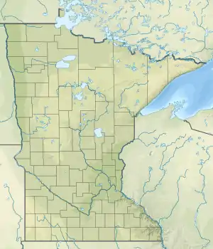
| Sea Gull River | |
|---|---|
 Mouth of Sea Gull River | |
| Location | |
| Country | United States |
| State | Minnesota |
| County | Cook County |
| Physical characteristics | |
| Source | |
| • location | Munker Island |
| • coordinates | 48°09′02″N 90°53′53″W / 48.1505556°N 90.8980556°W |
| Mouth | |
• location | Munker Island |
• coordinates | 48°11′56″N 90°52′46″W / 48.19889°N 90.87944°W |
See also
References
External links
- Minnesota Watersheds
- USGS Hydrologic Unit Map - State of Minnesota (1974)
This article is issued from Wikipedia. The text is licensed under Creative Commons - Attribution - Sharealike. Additional terms may apply for the media files.