.jpg.webp) An aerial photo of the Seal islands, viewed from the north, in 2009. | |
 Seal Islands  Seal Islands 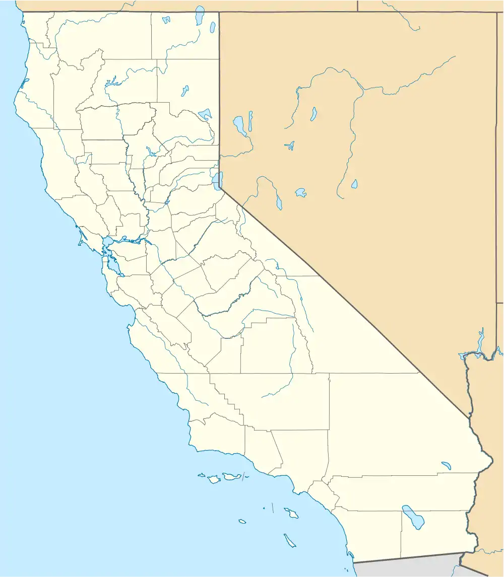 Seal Islands  Seal Islands | |
| Geography | |
|---|---|
| Location | Northern California |
| Coordinates | 38°03′20″N 122°02′50″W / 38.05556°N 122.04722°W[1] |
| Adjacent to | Suisun Bay |
| Administration | |
| State | |
| County | Contra Costa |
Seal Islands are a pair of islands in Suisun Bay at the mouth of the Sacramento-San Joaquin River Delta in Contra Costa County, California, 10 km east of Benicia, and 500 metres off-shore from the former Concord Naval Weapons Station and Port Chicago Naval Magazine.
See also
References
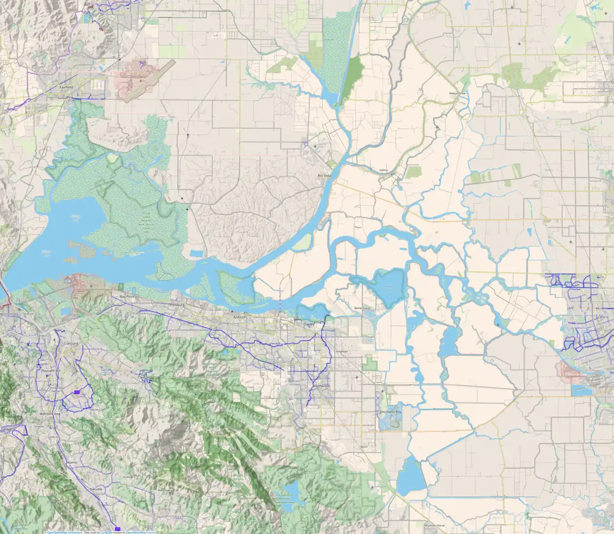
Map: Islands of Suisun Bay and the Sacramento–San Joaquin River Delta | |
|---|---|
(islands of the San Francisco Bay Area) |
This article is issued from Wikipedia. The text is licensed under Creative Commons - Attribution - Sharealike. Additional terms may apply for the media files.