Selce | |
|---|---|
Municipality | |
 Evangelical Church | |
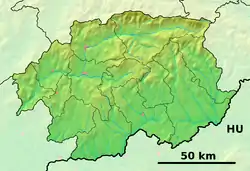 Selce Location of Selce in the Banská Bystrica Region 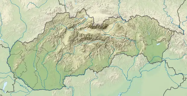 Selce Location of Selce in Slovakia | |
| Coordinates: 48°27′N 19°52′E / 48.450°N 19.867°E | |
| Country | |
| Region | Banská Bystrica |
| District | Poltár |
| First mentioned | 1303 |
| Area | |
| • Total | 24.40[1] km2 (9.42[1] sq mi) |
| Elevation | 255[2] m (837[2] ft) |
| Population (2021) | |
| • Total | 109[3] |
| Postal code | 980 13[2] |
| Area code | +421 47[2] |
| Car plate | PT |
| Website | www.obecselce.szm.com |
Selce (Hungarian: Telep) is a village and municipality in the Poltár District in the Banská Bystrica Region of Slovakia. In the village there is a food store and a neoclassical evangelical church from the 19th century.
References
- 1 2 "Hustota obyvateľstva - obce [om7014rr_ukaz: Rozloha (Štvorcový meter)]". www.statistics.sk (in Slovak). Statistical Office of the Slovak Republic. 2022-03-31. Retrieved 2022-03-31.
- 1 2 3 4 "Základná charakteristika". www.statistics.sk (in Slovak). Statistical Office of the Slovak Republic. 2015-04-17. Retrieved 2022-03-31.
- ↑ "Počet obyvateľov podľa pohlavia - obce (ročne)". www.statistics.sk (in Slovak). Statistical Office of the Slovak Republic. 2022-03-31. Retrieved 2022-03-31.
External links
 Media related to Selce, Poltár District at Wikimedia Commons
- Official website

- http://www.e-obce.sk/obec/selcept/selce.html
- http://www.citypopulation.de/php/slovakia-banskobystrickykraj.php?cityid=515515
Municipalities of Poltár District | ||
|---|---|---|
This article is issued from Wikipedia. The text is licensed under Creative Commons - Attribution - Sharealike. Additional terms may apply for the media files.