| Sharktooth Mountain | |
|---|---|
 Sharktooth Mountain | |
| Highest point | |
| Elevation | 2,668 m (8,753 ft)[1] |
| Prominence | 1,653 m (5,423 ft)[1] |
| Listing | |
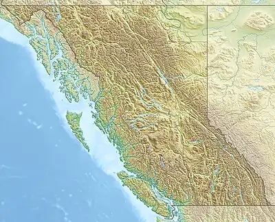
| Coordinates | 58°35′15″N 127°57′44″W / 58.58750°N 127.96222°W[2] |
| Geography | |
| Location | British Columbia, Canada |
| District | Cassiar Land District |
| Parent range | Stikine Ranges, Cassiar Mountains |
| Topo map | NTS 94L12 Sharktooth Mountain[3] |
Sharktooth Mountain is a 2,668-metre (8,753 ft) mountain in the Stikine Ranges of the Northern Interior of British Columbia, Canada, located between the Cassiar and Dall Rivers.[3] It has a prominence of 1,653 m, created by the pass at the Frog Lakes between the Pitman River, a tributary of the Stikine and the Frog River, a tributary of the Kechika.
References
- 1 2 "Sharktooth Mountain". Bivouac.com. Retrieved 2009-01-30.
- ↑ "British Columbia and Alberta: The Ultra-Prominence Page". Peaklist.org. Retrieved 2012-11-04.
- 1 2 "Sharktooth Mountain". BC Geographical Names. Retrieved 2021-06-05.
External links
This article is issued from Wikipedia. The text is licensed under Creative Commons - Attribution - Sharealike. Additional terms may apply for the media files.