Shunur | |
|---|---|
Village | |
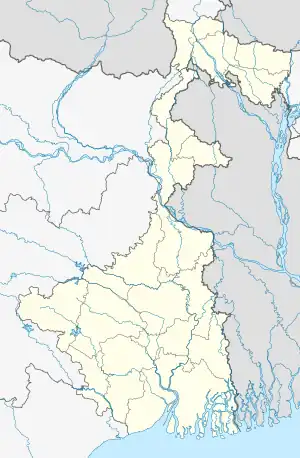 Shunur Location in West Bengal, India  Shunur Shunur (India) | |
| Coordinates: 23°20′53.0″N 87°55′53.7″E / 23.348056°N 87.931583°E | |
| Country | |
| State | West Bengal |
| District | Purba Bardhaman |
| • Rank | 2,710 |
| Languages | |
| • Official | Bengali, English |
| Time zone | UTC+5:30 (IST) |
| PIN | 713121 |
| Telephone/STD code | 0342 |
| Lok Sabha constituency | Bardhaman-Durgapur |
| Vidhan Sabha constituency | Bhatar |
| Website | purbabardhaman |
Shunur is a village in Bhatar CD block in Bardhaman Sadar North subdivision of Purba Bardhaman district in the state of West Bengal, India.
The total geographic area of village is 360.08 hectares. Shunur features a total population of 2,710 peoples. There are about 612 houses[1] in Shunur village.[2][3][4]
Population and house data
| Particulars | Total | Male | Female |
|---|---|---|---|
| Total no. of houses | 612 | - | - |
| Population | 2,710 | 1,415 | 1,295 |
| Child (0–6) | 249 | 138 | 111 |
| Schedule Caste | 1,193 | 614 | 579 |
| Schedule Tribe | 209 | 116 | 93 |
References
- ↑ 2011 census censusindia.gov.in
- ↑ "2011 Census – Primary Census Abstract Data Tables". West Bengal – District-wise. Registrar General and Census Commissioner, India. Retrieved 26 February 2017.
- ↑ "District Statistical Handbook 2014 Bardhaman". Table 2.2. Department of Statistics and Programme Implementation, Government of West Bengal. Archived from the original on 21 January 2019. Retrieved 25 January 2019.
- ↑ "District Census Handbook Barddhaman, Series 20 Part XII A, Census of India 2011" (PDF). Page 637: Map of Bhatar CD Block. Directorate of Census Operations 2011. Retrieved 21 January 2019.
Cities, towns and locations in Purba Bardhaman district, Burdwan division | ||||||||||
|---|---|---|---|---|---|---|---|---|---|---|
| Cities, municipal and census towns |
|  Divisions of West Bengal | ||||||||
| Locations other than cities and towns |
| |||||||||
| Related topics |
| |||||||||
This article is issued from Wikipedia. The text is licensed under Creative Commons - Attribution - Sharealike. Additional terms may apply for the media files.