| Sierra de Santa Cruz | |
|---|---|
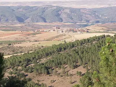 Sierra de Santa Cruz near Orcajo | |
| Highest point | |
| Peak | Cerro de Santa Cruz |
| Elevation | 1,423 m (4,669 ft) |
| Listing | List of mountains in Aragon |
| Coordinates | 41°06′15″N 01°33′55″W / 41.10417°N 1.56528°W |
| Geography | |
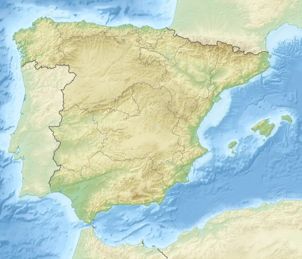 Sierra de Santa Cruz Location in Spain | |
| Location | Campo de Daroca (Aragon) |
| Parent range | Iberian System |
| Geology | |
| Orogeny | Alpine orogeny |
| Climbing | |
| First ascent | Unknown |
| Easiest route | Drive from Orcajo or Cubel |
Sierra de Santa Cruz is a mountain range in the Campo de Daroca comarca, Aragon, Spain. It is located north of the Laguna de Gallocanta.
Geography
The ridge is aligned in a NW-SE direction. Its highest point is Cerro de Santa Cruz (1,423 m). The Ermita de Santa Cruz shrine is located in the range.[1]
This mountain chain rises west of Daroca and stretches through the municipal terms of Balconchán, Atea, Orcajo, Cubel, Valdehorna,[2] Val de San Martín and Santed.
Ecology
The plant Centaurea pinnata is an endangered species present in this mountain range.[3]
See also
References
External links
 Media related to Sierra de Santa Cruz at Wikimedia Commons
- CAI Aragon - Sierra de de Santa Cruz
- Hiking in Sierra de Santa Cruz
This article is issued from Wikipedia. The text is licensed under Creative Commons - Attribution - Sharealike. Additional terms may apply for the media files.