Siesta Acres, Texas | |
|---|---|
 Siesta Acres, Texas  Siesta Acres, Texas | |
| Coordinates: 28°45′29″N 100°29′25″W / 28.75806°N 100.49028°W | |
| Country | United States |
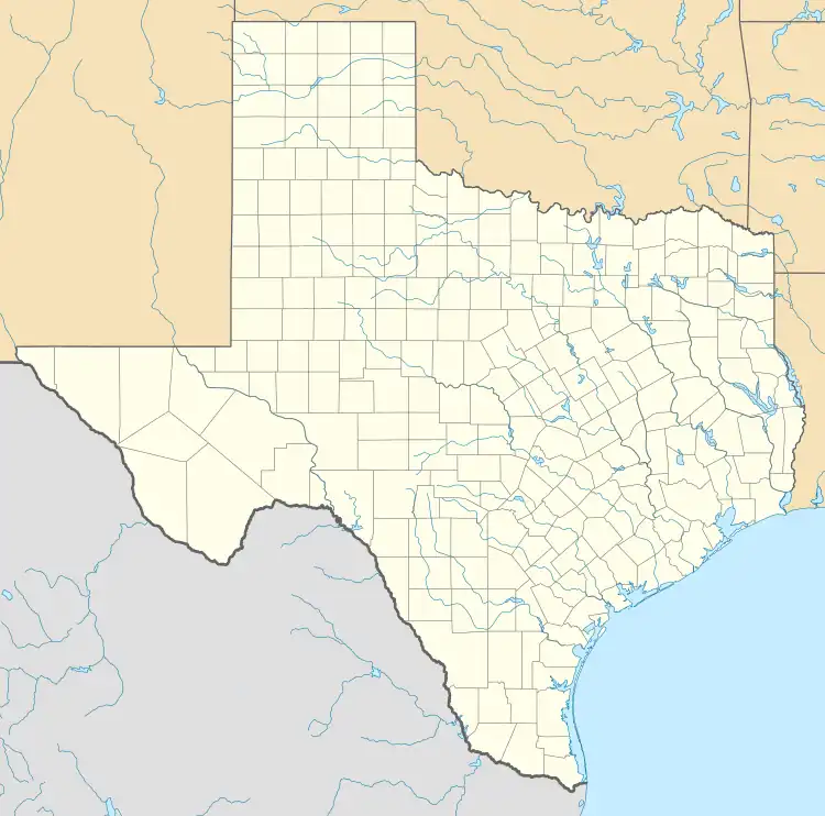
| State | Texas |
| County | Maverick |
| Area | |
| • Total | 0.410 sq mi (1.06 km2) |
| • Land | 0.409 sq mi (1.06 km2) |
| • Water | 0.001 sq mi (0.003 km2) |
| Elevation | 768 ft (234 m) |
| Population | |
| • Total | 1,885 |
| • Density | 4,600/sq mi (1,800/km2) |
| Time zone | UTC-6 (Central (CST)) |
| • Summer (DST) | UTC-5 (CDT) |
| Area code | 830 |
| GNIS feature ID | 2652416[2] |
Siesta Acres is an unincorporated community and census-designated place in Maverick County, Texas, United States. Its population was 1,885 as of the 2010 census.[1] U.S. Route 277 passes through the community.
Geography
According to the U.S. Census Bureau, the community has an area of 0.410 square miles (1.06 km2); 0.409 square miles (1.06 km2) of its area is land, and 0.001 square miles (0.0026 km2) is water.[1]
References
Municipalities and communities of Maverick County, Texas, United States | ||
|---|---|---|
| City | 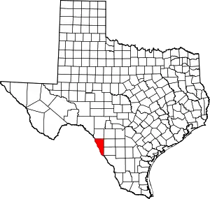 Maverick County map | |
| CDPs | ||
| Indian reservation | ||
This article is issued from Wikipedia. The text is licensed under Creative Commons - Attribution - Sharealike. Additional terms may apply for the media files.