Silvalen
Herøy Herøyholmen | |
|---|---|
Village | |
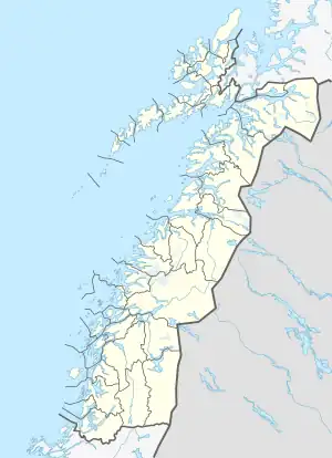 Silvalen Location in Nordland 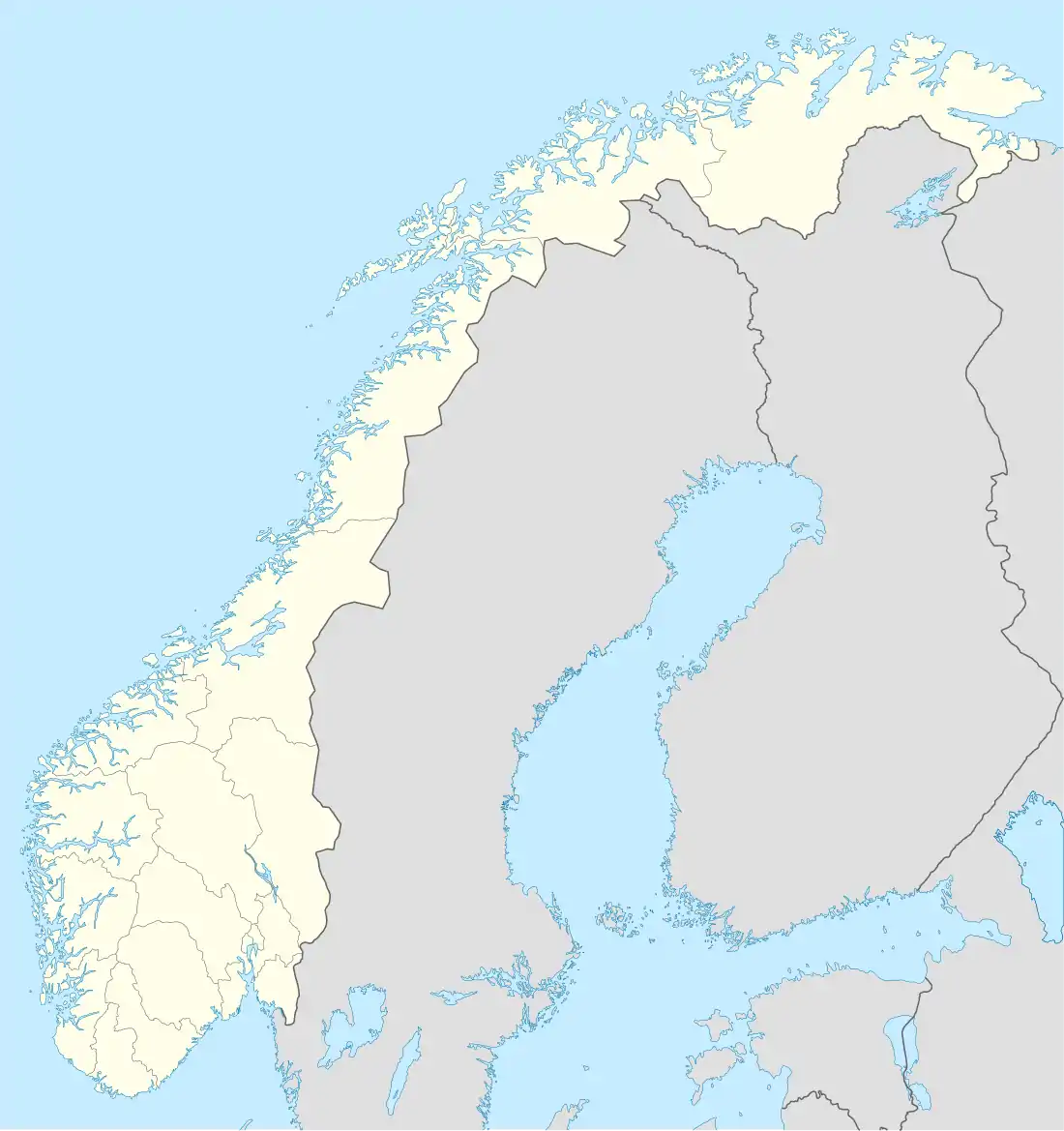 Silvalen Silvalen (Norway) | |
| Coordinates: 65°59′00″N 12°17′19″E / 65.9832°N 12.2886°E | |
| Country | Norway |
| Region | Northern Norway |
| County | Nordland |
| District | Helgeland |
| Municipality | Herøy |
| Area | |
| • Total | 0.99 km2 (0.38 sq mi) |
| Elevation | 7 m (23 ft) |
| Population (2018)[1] | |
| • Total | 860 |
| • Density | 869/km2 (2,250/sq mi) |
| Time zone | UTC+01:00 (CET) |
| • Summer (DST) | UTC+02:00 (CEST) |
| Post Code | 8850 Herøy |
Silvalen (or Herøyholmen) is the administrative centre of the municipality of Herøy in Nordland county, Norway. The village is located on two different islands, Nord-Herøy and Sør-Herøy, with the Herøysundet strait running between them. The Herøysundet Bridge crosses the strait, connecting both sides of the village. Herøy Church is located in the southern part of the village.[3]
The 0.99-square-kilometre (240-acre) village has a population (2018) of 860 and a population density of 869 inhabitants per square kilometre (2,250/sq mi).[1]
References
- 1 2 3 Statistisk sentralbyrå (1 January 2018). "Urban settlements. Population and area, by municipality".
- ↑ "Silvalen, Herøy (Nordland)". yr.no. Retrieved 2019-02-18.
- ↑ Store norske leksikon. "Silvalen" (in Norwegian). Retrieved 2011-12-29.
This article is issued from Wikipedia. The text is licensed under Creative Commons - Attribution - Sharealike. Additional terms may apply for the media files.