Sitovo | |
|---|---|
 | |
 Sitovo Location of Sitovo | |
| Coordinates: 41°56′N 24°37′E / 41.933°N 24.617°E | |
| Country | |
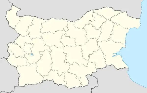
| Provinces (Oblast) | Plovdiv Province |
| Government | |
| • Mayor | Plamen Spasov (GERB) |
| Area | |
| • Total | 35.509 km2 (13.710 sq mi) |
| Elevation | 1,365 m (4,478 ft) |
| Population (2013-12-31)[1] | |
| • Total | 52 |
| • Density | 1.5/km2 (3.8/sq mi) |
| Time zone | UTC+2 (EET) |
| • Summer (DST) | UTC+3 (EEST) |
| Postal Code | 4104 |
Sitovo (Bulgarian: Ситово) is a small mountain village situated on the northern foothills of the Rhodope Mountains in southern Bulgaria. It is part of the Rodopi municipality of Plovdiv Province.[1] It is located approximately 135 km (84 mi) south-east of the capital of Bulgaria, Sofia, and 35 km (22 mi) from Plovdiv.
The yet untranslated Sitovo inscription is situated on the wall of a rock shelter in the vicinity of the village.
Geography
References
- 1 2 "Bulgaria Guide, Sitovo". Retrieved 9 January 2017.
Capital: Plovdiv | ||
| Villages |  | |
| Landmarks | ||
| Culture | ||
| Notable people | ||
This article is issued from Wikipedia. The text is licensed under Creative Commons - Attribution - Sharealike. Additional terms may apply for the media files.