Skala Oropou
Σκάλα Ωρωπού | |
|---|---|
 A view | |
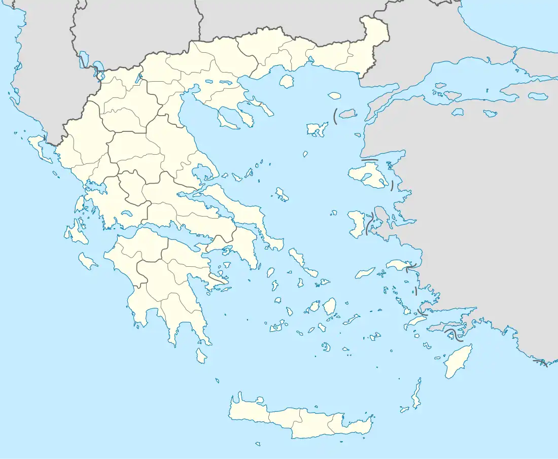 Skala Oropou Location within the regional unit  | |
| Coordinates: 38°19′N 23°48′E / 38.317°N 23.800°E | |
| Country | Greece |
| Administrative region | Attica |
| Regional unit | East Attica |
| Municipality | Oropos |
| Municipal unit | Oropioi |
| Highest elevation | 8 m (26 ft) |
| Lowest elevation | 0 m (0 ft) |
| Community | |
| • Population | 4,146 (2011) |
| • Area (km2) | 12.398 |
| Time zone | UTC+2 (EET) |
| • Summer (DST) | UTC+3 (EEST) |
| Postal code | 190 15 |
| Area code(s) | 22950 |
| Vehicle registration | ZB-ZY |
Skala Oropou (Greek: Σκάλα Ωρωπού meaning "Ladder of Oropos") is a community in East Attica, Greece, on the South Gulf of Euboea. Since the 2011 local government reform it is part of the municipality Oropos, of which it is a community.[2]
Geography
Skala Oropou is a seaside town, situated on the south coast of the South Euboean Gulf. The town Nea Palatia is directly adjacent to its east. It is 8 km south of Eretria (on the island Euboea). The Greek National Road 79 connects it with Motorway 1 near Malakasa. The mouth of the river Asopos lies between Skala Oropou and the western village Chalkoutsi. The community has a land area of 12.398 km² and a total population of 4,146 inhabitants (2011 census).
Subdivisions
- Skala Oropou (pop. 1,430 in 2011)
- Chalkoutsi (pop. 2,094)
- Nea Politeia (pop. 622)
Historical population
| Year | Village population | Community population |
|---|---|---|
| 1991 | 1,295 | 3,142 |
| 2001 | 1,289 | 3,775 |
| 2011 | 1,430 | 4,146 |
References
- ↑ "Απογραφή Πληθυσμού - Κατοικιών 2011. ΜΟΝΙΜΟΣ Πληθυσμός" (in Greek). Hellenic Statistical Authority.
- ↑ "ΦΕΚ B 1292/2010, Kallikratis reform municipalities" (in Greek). Government Gazette.
External links
This article is issued from Wikipedia. The text is licensed under Creative Commons - Attribution - Sharealike. Additional terms may apply for the media files.