| Snaring Mountain | |
|---|---|
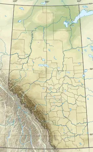 Snaring Mountain Location in Alberta | |
| Highest point | |
| Elevation | 2,931 m (9,616 ft)[1][2][3] |
| Prominence | 1,057 m (3,468 ft)[2] |
| Listing | Mountains of Alberta |
| Coordinates | 53°02′17″N 118°19′50″W / 53.03806°N 118.33056°W[4] |
| Geography | |
| Country | Canada |
| Province | Alberta |
| Protected area | Jasper National Park |
| Parent range | Victoria Cross Ranges |
| Topo map | NTS 83E1 Snaring River[4] |
Snaring Mountain is the highest mountain in the Victoria Cross Ranges of Alberta, Canada. The peak was named for a local Indian tribe who used snares to trap small animals; the name became official in 1934.[1][2]
References
- 1 2 "Snaring Mountain". cdnrockiesdatabases.ca. Retrieved 2019-08-20.
- 1 2 3 "Snaring Mountain". Bivouac.com. Retrieved 2009-04-16.
- ↑ "Topographic map of Snaring Mountain". opentopomap.org. Retrieved 2023-07-15.
- 1 2 "Snaring Mountain". Geographical Names Data Base. Natural Resources Canada. Retrieved 2023-07-15.
This article is issued from Wikipedia. The text is licensed under Creative Commons - Attribution - Sharealike. Additional terms may apply for the media files.