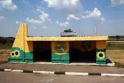
Solontsi
Солонці | |
|---|---|
Village (Selo) | |
 | |
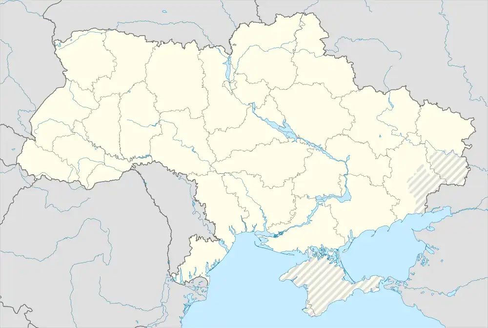 Solontsi Location of Solontsi 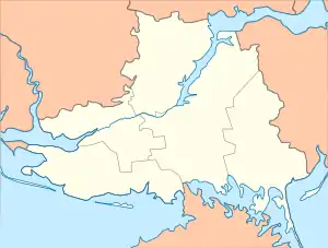 Solontsi Solontsi (Kherson Oblast) | |
| Coordinates: 46°34′29.4″N 32°40′12.9″E / 46.574833°N 32.670250°E | |
| Country | |
| Oblast | |
| Raion | Kherson Raion |
| Hromada | Oleshky urban hromada |
| Area | |
| • Total | 4 km2 (2 sq mi) |
| • Land | 3.9 km2 (1.5 sq mi) |
| • Water | 0.1 km2 (0.04 sq mi) 2.5% |
| Elevation | 2 m (6.5 ft) |
| Population | |
| • Estimate (2020) | 1,050 |
| Time zone | UTC+2 (Eastern European Time) |
| • Summer (DST) | UTC+3 (Eastern European Summer Time) |
| Postal Code | 75109 |
| Telephone Area Code | +380 5542 |
Solontsi (Ukrainian: Солонці) is a village in Kherson Raion, Kherson Oblast, southern Ukraine. The village is located eight kilometres (five miles) south-east of the city of Kherson and 1.5 miles (2.4 km) south of Oleshky.[1] The village is located close to the Dnieper River and is two metres (6.6 feet) above sea level.
As of June 2023, the village is under Russian occupation as a result of the Russian invasion of Ukraine.[2]
Population
The distribution of population by their native language based on the 2001 Ukrainian census:[3]
| Language | Percentage of
Population |
|---|---|
| Ukrainian | 92.20% |
| Russian | 4.47% |
| Armenian | 2.95% |
| Belarusian | 0.19% |
It had a pre-war population of 1,050 inhabitants.[3]
References
- ↑ "Node: Solontsi (337689148)". OpenStreetMap. Retrieved 2023-06-17.
- ↑ Bailey, Riley; Wolkov, Nicole; Mappes, Grace; Hird, Karolina; Clark, Mason. "Russian Offensive Campaign Assessment, June 16, 2023". Institute for the Study of War. Retrieved 2023-06-17.
- 1 2 "Ukraine Census". September 2022. Archived from the original on 2022-07-27. Retrieved 21 September 2022.
This article is issued from Wikipedia. The text is licensed under Creative Commons - Attribution - Sharealike. Additional terms may apply for the media files.