Sonprayag | |
|---|---|
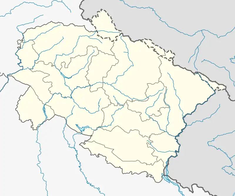 Sonprayag Location in Uttarakhand, India  Sonprayag Sonprayag (India) | |
| Coordinates: 30°37′57″N 78°57′36″E / 30.63250°N 78.96000°E | |
| Country | |
| State | Uttarakhand |
| District | Rudraprayag district |
| Population (2011) | |
| • Total | 805 |
| Languages | |
| • Official | Hindi , Garhwali |
| Time zone | UTC+5:30 (IST) |
| Vehicle registration | UK10 |
| Website | uk |
Sonprayag is a village in the Rudraprayag district of Uttarakhand state in India. Approx. 73 Kilometres from Rudraprayag Town, the district headquarter. Situated on the banks of river Mandakini River, it is a proposed Y-forked railway junction on Chota Char Dham Railway for two different railways going to Kedarnath and Badrinath.[1]
Geography
Nearby are Kedarnath and Badrinath, the holiest places of Hinduism called Chota Char Dham.[1]
Transport
It is a terminating junction on the Karanprayag-Saikot-Sonprayag Kedarnath Railway route of Chota Char Dham Railway.[1]
Demographics
As of 2001 India census, village has a small population.
References
External links
 Media related to Chamoli district at Wikimedia Commons
- Official website
This article is issued from Wikipedia. The text is licensed under Creative Commons - Attribution - Sharealike. Additional terms may apply for the media files.