Sportmans Shores, Oklahoma | |
|---|---|
 Sportmans Shores  Sportmans Shores | |
| Coordinates: 36°27′52″N 95°04′59″W / 36.46444°N 95.08306°W | |
| Country | United States |
| State | Oklahoma |
| County | Mayes |
| Area | |
| • Total | 0.35 sq mi (0.90 km2) |
| • Land | 0.29 sq mi (0.75 km2) |
| • Water | 0.06 sq mi (0.15 km2) |
| Elevation | 705 ft (215 m) |
| Population (2020) | |
| • Total | 239 |
| • Density | 829.86/sq mi (320.64/km2) |
| Time zone | UTC-6 (Central (CST)) |
| • Summer (DST) | UTC-5 (CDT) |
| ZIP Code | 74301 (Vinita) |
| Area code(s) | 918/539 |
| FIPS code | 40-69392 |
| GNIS feature ID | 2812859[2] |
Sportmans Shores is an unincorporated community and census-designated place (CDP) in Mayes County, Oklahoma, United States. It was first listed as a CDP prior to the 2020 census.[2]
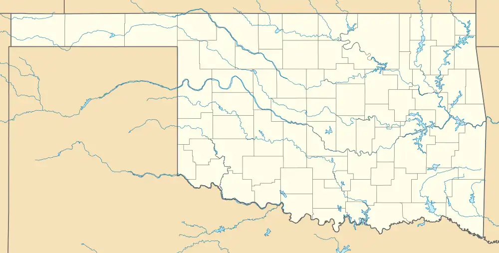
The CDP is in northeastern Mayes County, on the north shore of the Neosho River at the upstream end of Lake Hudson. It is 4 miles (6 km) by road west of Langley and 11 miles (18 km) east of Adair.
Demographics
| Census | Pop. | Note | %± |
|---|---|---|---|
| 2020 | 239 | — | |
| U.S. Decennial Census[3] | |||
References
- ↑ "ArcGIS REST Services Directory". United States Census Bureau. Retrieved September 20, 2022.
- 1 2 3 U.S. Geological Survey Geographic Names Information System: Sportmans Shores, Oklahoma
- ↑ "Census of Population and Housing". Census.gov. Retrieved June 4, 2016.
Municipalities and communities of Mayes County, Oklahoma, United States | ||
|---|---|---|
| City | 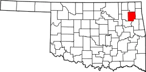 Mayes County map | |
| Towns | ||
| CDPs | ||
| Unincorporated communities | ||
| Indian reservations | ||
| Footnotes | ‡This populated place also has portions in an adjacent county or counties | |
This article is issued from Wikipedia. The text is licensed under Creative Commons - Attribution - Sharealike. Additional terms may apply for the media files.