Spurlockville, West Virginia | |
|---|---|
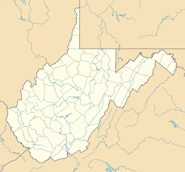 Spurlockville  Spurlockville | |
| Coordinates: 38°7′34″N 82°1′15″W / 38.12611°N 82.02083°W | |
| Country | United States |
| State | West Virginia |
| County | Lincoln |
| Time zone | UTC-5 (Eastern (EST)) |
| • Summer (DST) | UTC-4 (EDT) |
| ZIP codes | 25565 |
Spurlockville (also Spurlocksville) is an unincorporated community in central Lincoln County, West Virginia, United States. It lies south of the town of Hamlin, the county seat of Lincoln County.[1] Its elevation is 758 feet (231 m).[2] Spurlockville has a post office with the ZIP code 25565.[3]
References
- ↑ Rand McNally. The Road Atlas '08. Chicago: Rand McNally, 2008, p. 112.
- ↑ U.S. Geological Survey Geographic Names Information System: Spurlockville, West Virginia, Geographic Names Information System, 1980-06-27. Accessed 2008-03-29.
- ↑ USPS – Cities by ZIP Code
Municipalities and communities of Lincoln County, West Virginia, United States | ||
|---|---|---|
| Towns |  Lincoln County map | |
| CDPs | ||
| Unincorporated communities |
| |
| Footnotes | ‡This populated place also has portions in an adjacent county or counties | |
This article is issued from Wikipedia. The text is licensed under Creative Commons - Attribution - Sharealike. Additional terms may apply for the media files.