State Highway 79 Bridge at the Red River | |
 State Highway 79 Bridge | |
 State Highway 79 Bridge at the Red River  State Highway 79 Bridge at the Red River  State Highway 79 Bridge at the Red River | |
| Location | Between Texas State Highway 79 and Oklahoma State Highway 79 over Red River |
|---|---|
| Nearest city | Byers, Texas, Waurika, Oklahoma |
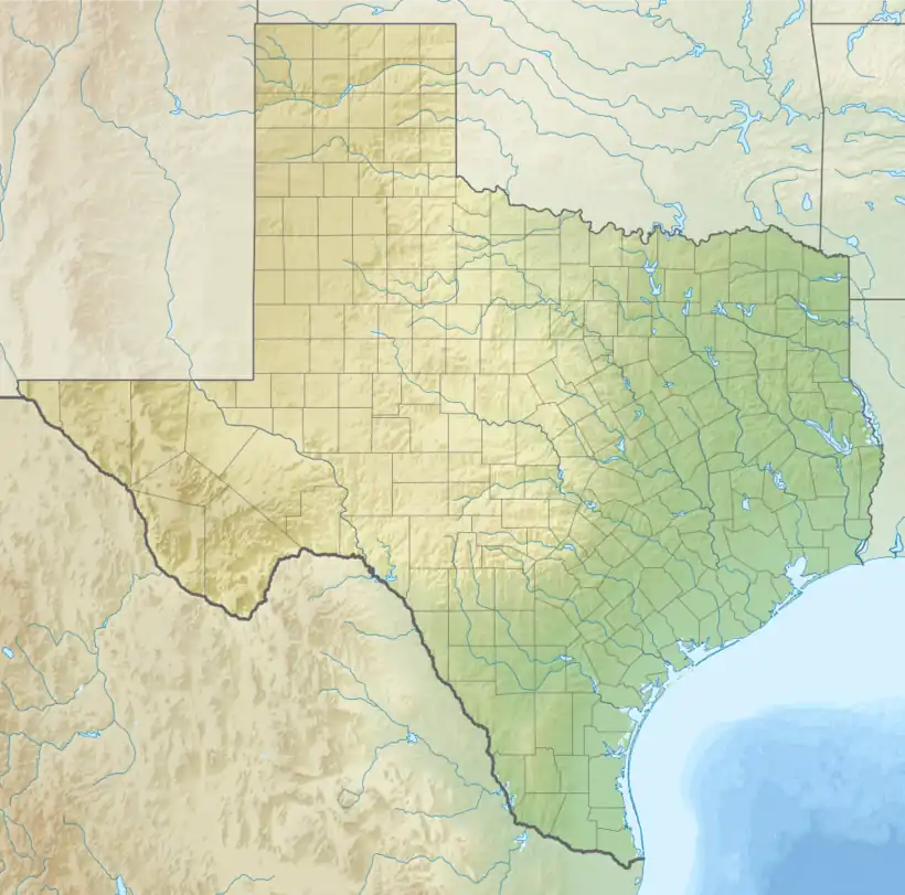
| Coordinates | 34°7′56″N 98°5′39″W / 34.13222°N 98.09417°W |
| Area | 1.5 acres (0.61 ha) |
| Built | 1939 |
| Built by | Multiple |
| Architectural style | Camelback pony truss |
| Demolished | 2018[1] |
| MPS | Historic Bridges of Texas MPS |
| NRHP reference No. | 96001518[2] |
| Added to NRHP | December 20, 1996 |
The State Highway 79 Bridge at the Red River was a bridge carrying Texas State Highway 79 and Oklahoma State Highway 79 over the Red River at the Texas-Oklahoma state line. The camelback pony truss bridge was 2,255 feet (687 m) long and had 21 truss spans. The Texas and Oklahoma highway departments built the bridge as a combined project in 1939. The bridge provided a direct route between Waurika, Oklahoma and Byers and Wichita Falls in Texas. The bridge was the only camelback pony truss bridge remaining on a Texas state highway and the fourth-longest truss bridge in the Texas state highway system prior to being demolished.[3]
The bridge was added to the National Register of Historic Places on December 20, 1996.[2]
In 2018, a new bridge was built at the location of the old bridge before the old bridge was demolished.[1]
See also
References
- 1 2 "Highway 79 Bridge Work at Red River". Times Record News. July 13, 2018. Retrieved June 23, 2021.
- 1 2 "National Register Information System". National Register of Historic Places. National Park Service. November 2, 2013.
- ↑ "Bridge at the Red River, State Highway 79". Texas Historical Commission. Retrieved March 27, 2014.

