Stefanaconi
Greek: Stephanikónion | |
|---|---|
| Comune di Stefanaconi | |
Location of Stefanaconi | |
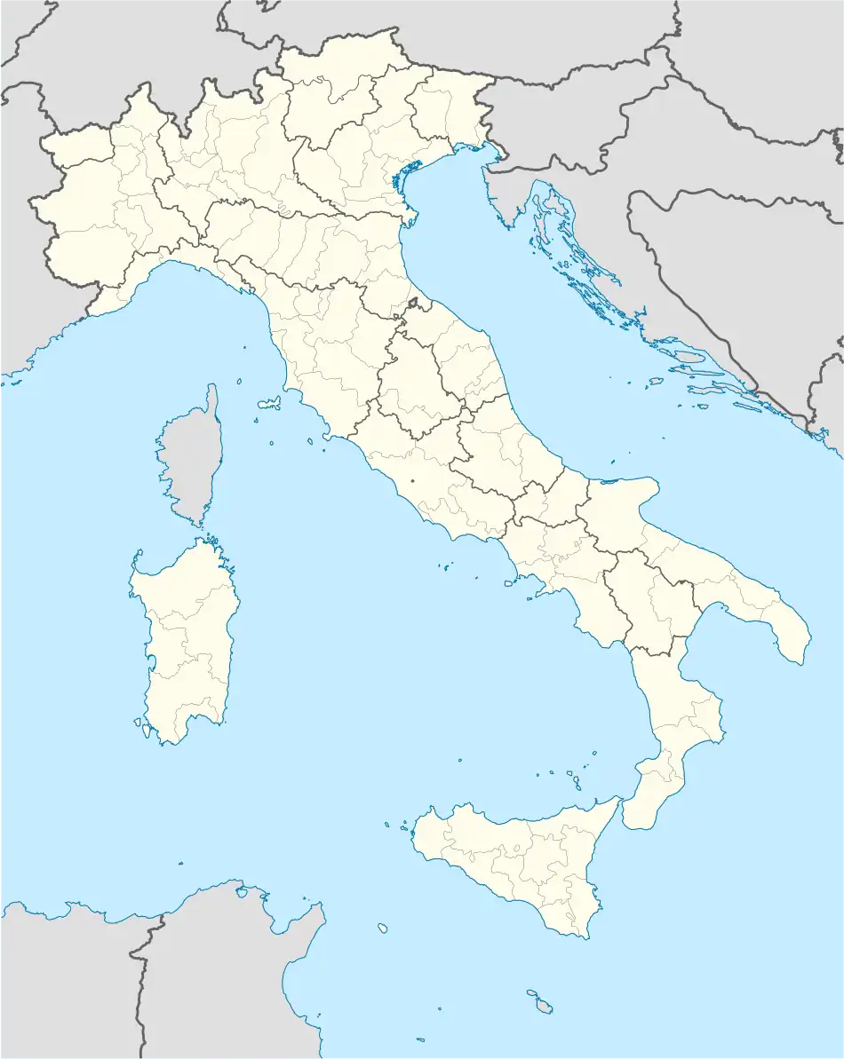 Stefanaconi Location of Stefanaconi in Italy 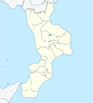 Stefanaconi Stefanaconi (Calabria) | |
| Coordinates: 38°40′N 16°7′E / 38.667°N 16.117°E | |
| Country | Italy |
| Region | Calabria |
| Province | Province of Vibo Valentia (VV) |
| Frazioni | Morsillara |
| Area | |
| • Total | 23.2 km2 (9.0 sq mi) |
| Elevation | 347 m (1,138 ft) |
| Population (December 2004)[2] | |
| • Total | 2,477 |
| • Density | 110/km2 (280/sq mi) |
| Demonym | Stefanaconesi |
| Time zone | UTC+1 (CET) |
| • Summer (DST) | UTC+2 (CEST) |
| Postal code | 89843 |
| Dialing code | 0963 |
| Website | Official website |
Stefanaconi ([stefa'nakoni]) (Ancient Greek: Στεφανικόνιον, romanized: Stephanikónion) is a comune (municipality) in the Province of Vibo Valentia in the Italian region Calabria, located about 50 kilometres (31 mi) southwest of Catanzaro and about 3 kilometres (2 mi) east of Vibo Valentia. As of 31 December 2004, it had a population of 2,477 and an area of 23.2 square kilometres (9.0 sq mi).[3]
The municipality of Stefanaconi contains the frazione (subdivision) Morsillara.
Stefanaconi borders the following municipalities: Francica, Gerocarne, Pizzoni, Sant'Onofrio, Soriano Calabro, Vazzano, Vibo Valentia.
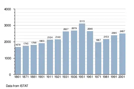
Demographic evolution
Surnames
11 most common names in Stefanaconi.
References
- ↑ "Superficie di Comuni Province e Regioni italiane al 9 ottobre 2011". Italian National Institute of Statistics. Retrieved 16 March 2019.
- ↑ "Popolazione Residente al 1° Gennaio 2018". Italian National Institute of Statistics. Retrieved 16 March 2019.
- ↑ All demographics and other statistics: Italian statistical institute Istat.
External links
This article is issued from Wikipedia. The text is licensed under Creative Commons - Attribution - Sharealike. Additional terms may apply for the media files.