Stirum | |
|---|---|
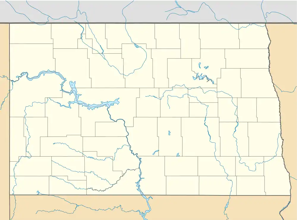 Stirum Location within the state of North Dakota  Stirum Stirum (the United States) | |
| Coordinates: 46°12′37″N 97°48′23″W / 46.21028°N 97.80639°W | |
| Country | United States |
| State | North Dakota |
| County | Sargent |
| Elevation | 1,355 ft (413 m) |
| Time zone | UTC-6 (Central (CST)) |
| • Summer (DST) | UTC-5 (CDT) |
| ZIP codes | 58069 |
| Area code | 701 |
| GNIS feature ID | 1032325[1] |
Stirum is an unincorporated community in northwestern Sargent County, North Dakota, United States. It lies a short distance to the south of North Dakota Highway 13, northwest of the city of Forman, the county seat of Sargent County.[2] Its elevation is 1,355 feet (413 m).[1] It has a post office with the ZIP code 58069.[3]
References
- 1 2 3 U.S. Geological Survey Geographic Names Information System: Stirum, North Dakota
- ↑ Rand McNally. The Road Atlas '08. Chicago: Rand McNally, 2008, p. 77.
- ↑ USPS – Cities by ZIP Code
External links
- Stirum Diamond Jubilee, 1907-1982: August 21-22, 1982, Stirum, N.D. from the Digital Horizons website
Municipalities and communities of Sargent County, North Dakota, United States | ||
|---|---|---|
| Cities | 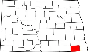 Map of North Dakota highlighting Sargent County | |
| Townships | ||
| CDP | ||
| Other community | ||
| Indian reservation | ||
| Footnotes | ‡This populated place also has portions in an adjacent county or counties | |
This article is issued from Wikipedia. The text is licensed under Creative Commons - Attribution - Sharealike. Additional terms may apply for the media files.