Stromberg | |
|---|---|
 | |
|
Coat of arms | |
Location of Stromberg within Bad Kreuznach district  | |
 Stromberg 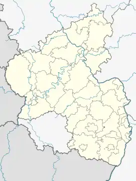 Stromberg | |
| Coordinates: 49°56′49″N 7°46′46″E / 49.94694°N 7.77944°E | |
| Country | Germany |
| State | Rhineland-Palatinate |
| District | Bad Kreuznach |
| Municipal assoc. | Langenlonsheim-Stromberg |
| Government | |
| • Mayor (2019–24) | Claus-Werner Dapper[1] |
| Area | |
| • Total | 9.02 km2 (3.48 sq mi) |
| Elevation | 220 m (720 ft) |
| Population (2021-12-31)[2] | |
| • Total | 3,355 |
| • Density | 370/km2 (960/sq mi) |
| Time zone | UTC+01:00 (CET) |
| • Summer (DST) | UTC+02:00 (CEST) |
| Postal codes | 55442 |
| Dialling codes | 06724 |
| Vehicle registration | KH |
| Website | www.stadt-stromberg.de |
Stromberg is a town in the district of Bad Kreuznach, in Rhineland-Palatinate, Germany. It is situated on the eastern edge of the Hunsrück, approximately 10 km west of Bingen.
Stromberg was the seat of the former Verbandsgemeinde ("collective municipality") Stromberg.
References
- ↑ Direktwahlen 2019, Landkreis Bad Kreuznach, Landeswahlleiter Rheinland-Pfalz, accessed 2 August 2021.
- ↑ "Bevölkerungsstand 2021, Kreise, Gemeinden, Verbandsgemeinden" (in German). Statistisches Landesamt Rheinland-Pfalz. 2022.
External links
Wikimedia Commons has media related to Stromberg (Hunsrück).
This article is issued from Wikipedia. The text is licensed under Creative Commons - Attribution - Sharealike. Additional terms may apply for the media files.