Talowah, Mississippi | |
|---|---|
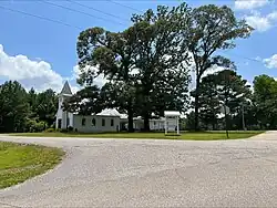 Talowah United Methodist Church | |
 Talowah, Mississippi  Talowah, Mississippi | |
| Coordinates: 31°04′34″N 89°25′49″W / 31.07611°N 89.43028°W | |
| Country | United States |
| State | Mississippi |
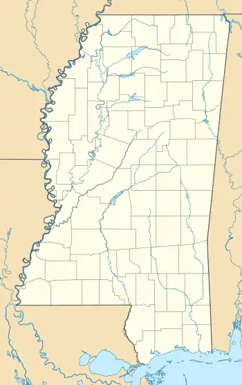
| County | Lamar |
| Elevation | 276 ft (84 m) |
| Time zone | UTC-6 (Central (CST)) |
| • Summer (DST) | UTC-5 (CDT) |
| Area code | 601 |
| GNIS feature ID | 694935[1] |
Talowah is an unincorporated community in Lamar County, in the U.S. state of Mississippi.
History
Talowah is a name derived from the Choctaw language purported to mean "many rocks".[2]
The community is located on the Norfolk Southern Railway.[3] A post office operated under the name Talawah from 1884 to 1891 and under the name Talowah from 1907 to 1912.[4]
References
- ↑ U.S. Geological Survey Geographic Names Information System: Talowah, Mississippi
- ↑ Baca, Keith A. (2007). Native American Place Names in Mississippi. University Press of Mississippi. p. 105. ISBN 978-1-60473-483-6.
- ↑ Howe, Tony. "Talowah, Mississippi". Mississippi Rails. Retrieved September 29, 2022.
- ↑ "Lamar County". Jim Forte Postal History. Retrieved September 29, 2022.
Municipalities and communities of Lamar County, Mississippi, United States | ||
|---|---|---|
| Cities | 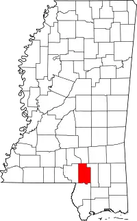 Map of Mississippi highlighting Lamar County | |
| Towns | ||
| CDPs | ||
| Other communities | ||
| Footnotes | ‡This populated place also has portions in an adjacent county or counties | |
This article is issued from Wikipedia. The text is licensed under Creative Commons - Attribution - Sharealike. Additional terms may apply for the media files.