Tamanthi
ထမံသီ Htamanthi | |
|---|---|
Village | |
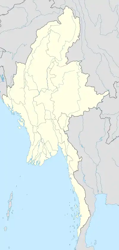 Tamanthi Location in Burma | |
| Coordinates: 25°20′8″N 95°16′51″E / 25.33556°N 95.28083°E | |
| Country | |
| Region | Sagaing Region |
| District | Hkamti |
| Township | Homalin Township |
| Time zone | UTC+6.30 (MST) |
Tamanthi, Htamanthi or Tamanthe is a village on the Chindwin River in Homalin Township in Hkamti District in the Sagaing Region of northwestern Burma.[1][2] It is located near the Tamanthi Wildlife Reserve. It is near the planned multi-purpose Tamanthi Dam. Gardens were planted in Tamanthi and other nearby villages around 1700 and the village has been documented as producing pickled tea, known as "letpet".[3]
References
- ↑ Google (29 May 2023). "Tamanthi" (Map). Google Maps. Google. Retrieved 29 May 2023.
- ↑ Microsoft; Nokia (2023-05-29). "Tamanthi" (Map). Bing Maps. Microsoft. Retrieved 2023-05-29.
- ↑ Kew Bulletin. Vol. 10. Royal Botanic Gardens, Kew, JSTOR (Organization), H. M. Stationery Office. 1896. p. 14.
External links
- Maplandia World Gazetteer
- "ထမံသီ ေရကာတာျပ ေျမပုံ" Map showing Tamanthi (ထမံသီ) along the Chindwin with Wildlife Reserve

This article is issued from Wikipedia. The text is licensed under Creative Commons - Attribution - Sharealike. Additional terms may apply for the media files.