| Tanyard Run Tributary to Middle Wheeling Creek | |
|---|---|
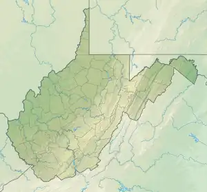 Location of Tanyard Run mouth  Tanyard Run (Middle Wheeling Creek tributary) (the United States) | |
| Location | |
| Country | United States |
| State | West Virginia |
| County | Ohio |
| Physical characteristics | |
| Source | Marlow Run divide |
| • location | about 2 miles northeast of Valley Camp, West Virginia |
| • coordinates | 40°03′10″N 080°34′59″W / 40.05278°N 80.58306°W[1] |
| • elevation | 1,140 ft (350 m)[2] |
| Mouth | Middle Wheeling Creek |
• location | Twilight, West Virginia |
• coordinates | 40°02′11″N 080°35′40″W / 40.03639°N 80.59444°W[1] |
• elevation | 784 ft (239 m)[3] |
| Length | 1.53 mi (2.46 km)[4] |
| Basin size | 1.34 square miles (3.5 km2)[5] |
| Discharge | |
| • location | Middle Wheeling Creek |
| • average | 1.77 cu ft/s (0.050 m3/s) at mouth with Middle Wheeling Creek[5] |
| Basin features | |
| Progression | Middle Wheeling Creek → Little Wheeling Creek → Wheeling Creek → Ohio River → Mississippi River → Gulf of Mexico |
| River system | Ohio River |
| Tributaries | |
| • left | unnamed tributaries |
| • right | unnamed tributaries |
| Bridges | Rising Sun Lane, Middle Creek Road |
Tanyard Run is a 1.53 mi (2.46 km) long 1st order tributary to Middle Wheeling Creek in Ohio County, West Virginia.
Course
Tanyard Run rises about 2 miles northeast of Valley Camp, West Virginia, and then flows southwest to join Middle Wheeling Creek at Twilight.[3]
Watershed
Tanyard Run drains 1.33 square miles (3.4 km2) of area, receives about 41.1 in/year of precipitation, has a wetness index of 267.53, and is about 69% forested.[5]
See also
References
- 1 2 "GNIS Detail - Tanyard Run". geonames.usgs.gov. US Geological Survey. Retrieved 30 June 2021.
- ↑ "Get Maps". USGS Topoview. US Geological Survey. Retrieved 30 June 2021.
- 1 2 "Get Maps". USGS Topoview. US Geological Survey. Retrieved 30 June 2021.
- ↑ "ArcGIS Web Application". epa.maps.arcgis.com. US EPA. Retrieved 30 June 2021.
- 1 2 3 "Tanyard Run Watershed Report". US EPA Geoviewer. US EPA. Retrieved 30 June 2021.
This article is issued from Wikipedia. The text is licensed under Creative Commons - Attribution - Sharealike. Additional terms may apply for the media files.