Taragi
多良木町 | |
|---|---|
Town | |
 Flag  Seal | |
 Location of Taragi in Kumamoto Prefecture | |
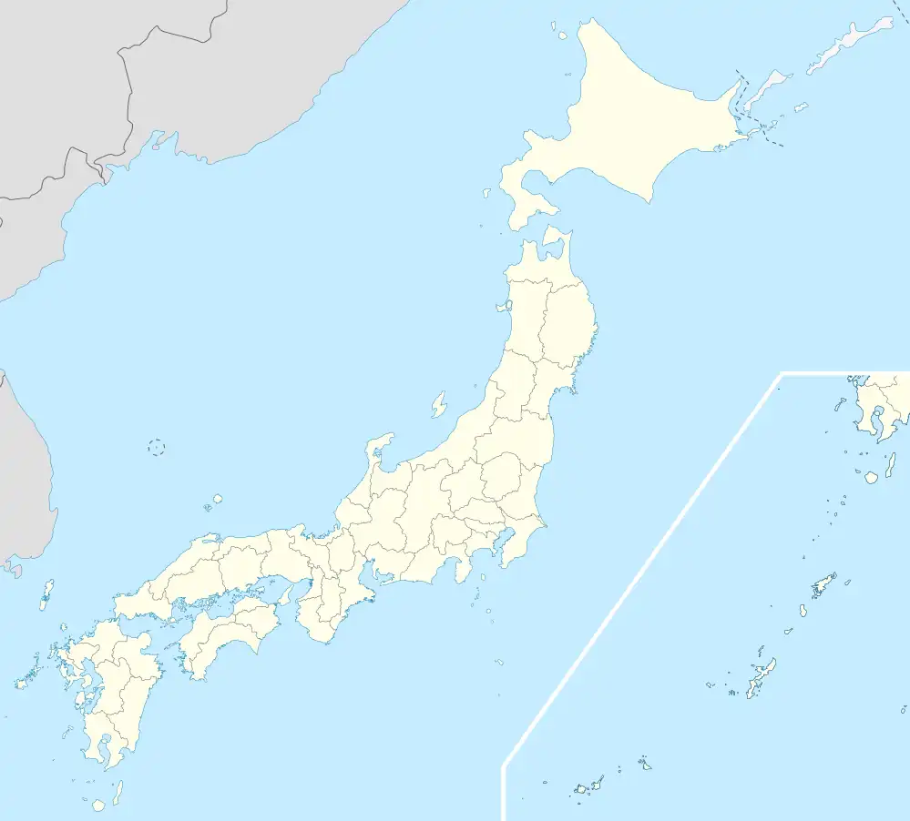 Taragi Location in Japan | |
| Coordinates: 32°16′N 130°56′E / 32.267°N 130.933°E | |
| Country | Japan |
| Region | Kyushu |
| Prefecture | Kumamoto Prefecture |
| District | Kuma |
| Area | |
| • Total | 165.87 km2 (64.04 sq mi) |
| Population (October 1, 2016) | |
| • Total | 9,604 |
| • Density | 58/km2 (150/sq mi) |
| Time zone | UTC+09:00 (JST) |
| Website | www |
Taragi (多良木町, Taragi-machi) is a town located in Kuma District, Kumamoto Prefecture, Japan.[1]
As of October 1, 2016, the town has an estimated population of 9,604 and a density of 58 persons per km². The total area is 165.87 km².
References
- ↑ "多良木町・中山観音堂の鰐口の熊本県重要文化財指定の答申について - 熊本県ホームページ". www.pref.kumamoto.jp. Retrieved 2022-10-21.
External links
 Media related to Taragi, Kumamoto at Wikimedia Commons
- Taragi official website (in Japanese)
This article is issued from Wikipedia. The text is licensed under Creative Commons - Attribution - Sharealike. Additional terms may apply for the media files.