Tatti | |
|---|---|
 View of Tatti | |
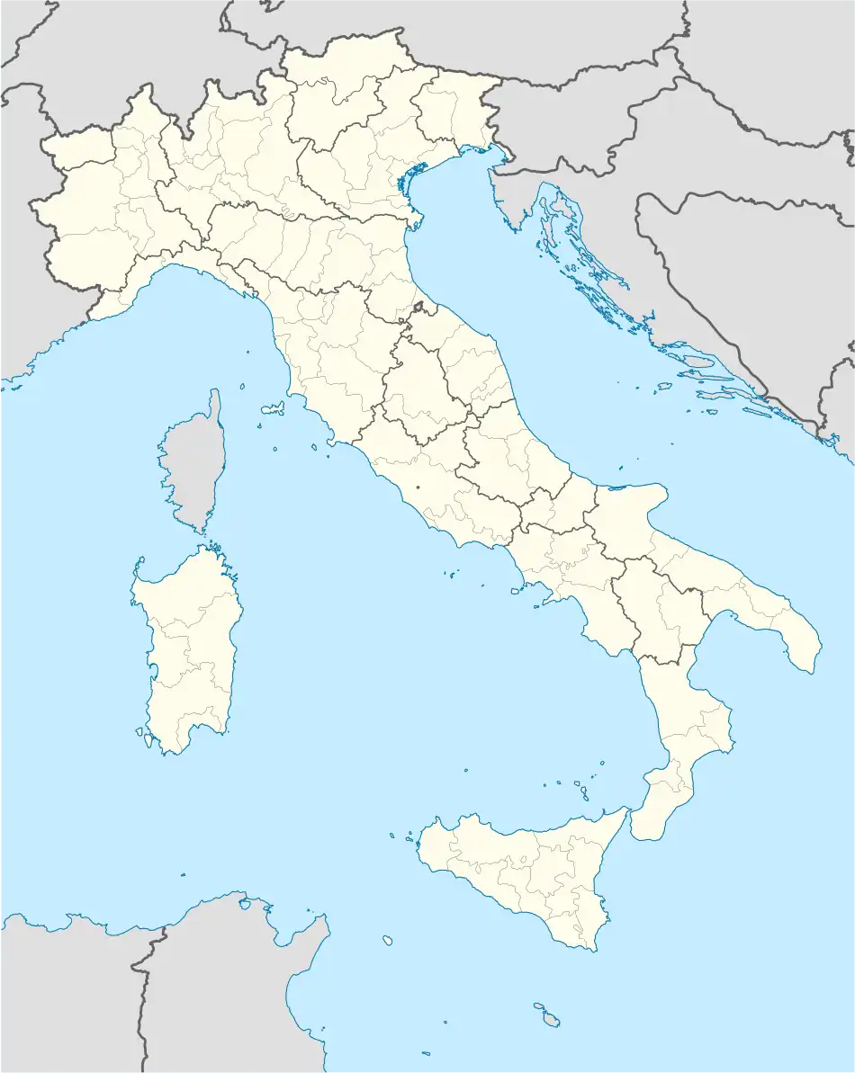 Tatti Location of Tatti in Italy | |
| Coordinates: 43°01′21″N 11°01′39″E / 43.02250°N 11.02750°E | |
| Country | |
| Region | |
| Province | Grosseto (GR) |
| Comune | Massa Marittima |
| Elevation | 412 m (1,352 ft) |
| Population (2011) | |
| • Total | 209 |
| Demonym | Tatterini |
| Time zone | UTC+1 (CET) |
| • Summer (DST) | UTC+2 (CEST) |
| Postal code | 58040 |
Tatti is a village in Tuscany, central Italy, administratively a frazione of the comune of Massa Marittima, province of Grosseto, in the area of the Colline Metallifere. At the time of the 2001 census its population amounted to 231.[1]
Tatti is about 37 km from Grosseto and 20 km from Massa Marittima, and it is a small medieval village (11th century) situated on a hill of Colline Metallifere.
Main sights
- Santa Maria Assunta, main parish church of the village, it was built in the 12th century and rebuilt in the 19th century in a Neoclassical style.[2]
- San Sebastiano, an ancient little church restructured in the 18th century.[2]
- Santissima Annunziata, a church of medieval origins, it is situated outside the centre of the village.[2]
- Rocca Aldobrandesca, a 13th-century fortress built by the Aldobrandeschi.
- Walls of Tatti, old fortifications which surround the village since the 9th century (rebuilt in the 13th century).[2]
References
Bibliography
- Bruno Santi, Guida storico-artistica alla Maremma. Itinerari culturali nella provincia di Grosseto, Siena, Nuova Immagine, 1995, pp. 51–52.
- Aldo Mazzolai, Guida della Maremma. Percorsi tra arte e natura, Le Lettere, Florence, 1997.
See also
Wikimedia Commons has media related to Tatti.
This article is issued from Wikipedia. The text is licensed under Creative Commons - Attribution - Sharealike. Additional terms may apply for the media files.