Taungdi | |
|---|---|
 | |
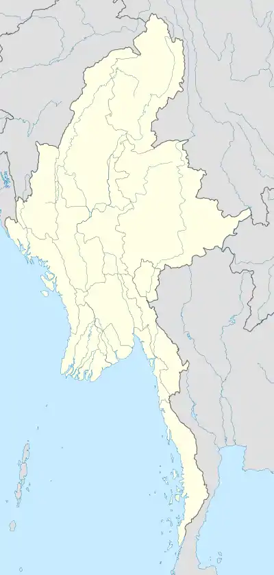 Taungdi Location in Myanmar | |
| Coordinates: 15°58′44″N 97°55′11″E / 15.97889°N 97.91972°E | |
| Country | |
| State | |
| District | Kawkareik District |
| Township | Kyain Seikgyi Township |
| Population (2014) | |
| • Religions | Buddhism |
| Time zone | UTC+6.30 (MST) |
| Area code | 58[1] |
Taungdi[2] Pwo Eastern Karen: တံင့်တီႋ; Burmese: တောင်ဒီး [tàʊɴ Dí]) is a large village in Kyain Seikgyi Township, Kawkareik District, in the Kayin State of Myanmar.
References
- ↑ "Myanmar Area Codes". Retrieved 2009-04-10.
- ↑ Taungdi (Approved) at GEOnet Names Server, United States National Geospatial-Intelligence Agency
External links
- "Taungdi Map – Satellite Images of Taungdi" Maplandia World Gazetteer
Capital: Hpa-an | ||
| Hpa-an District |  | |
| Hpapun District | ||
| Kawkareik District | ||
| Myawaddy District | ||
| Cities and towns | ||
This article is issued from Wikipedia. The text is licensed under Creative Commons - Attribution - Sharealike. Additional terms may apply for the media files.