Thikri | |
|---|---|
City | |
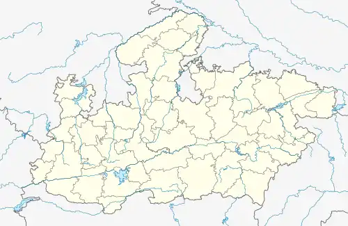 Thikri Location in Madhya Pradesh, India 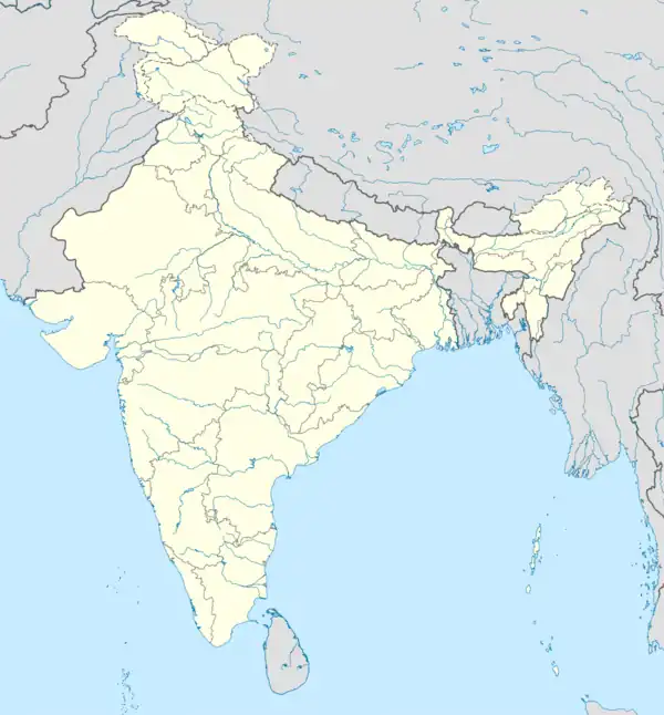 Thikri Thikri (India) | |
| Coordinates: 22°4′0″N 75°23′0″E / 22.06667°N 75.38333°E | |
| Country | |
| State | Madhya Pradesh |
| District | Barwani |
| Government | |
| • Body | nagar panchayat |
| Elevation | 162 m (531 ft) |
| Time zone | UTC+5:30 (IST) |
| PIN | 451660 |
| Telephone code | 07284 |
| ISO 3166 code | IN-MP |
| Vehicle registration | MP |
| Coastline | 0 kilometres (0 mi) |
| Nearest city | Indore |
| Lok Sabha constituency | Khargone Barwani |
Thikri is a town and a tehsil in Barwani District, Madhya Pradesh, India.
Geography
It is located at 22°4′0″N 75°23′0″E / 22.06667°N 75.38333°E at an elevation of 162 m above MSL.[1] Thikri is a small city located around 16 km north-east of Julwania. Surrounded by Khargone, Barwani and Barwaha , the town is a part of Barwani District and the Indore region. It is also near the river Narmada.
Climate
| Climate data for Thikri (1981–2010, extremes 1951–1998) | |||||||||||||
|---|---|---|---|---|---|---|---|---|---|---|---|---|---|
| Month | Jan | Feb | Mar | Apr | May | Jun | Jul | Aug | Sep | Oct | Nov | Dec | Year |
| Record high °C (°F) | 35.5 (95.9) |
40.0 (104.0) |
44.0 (111.2) |
47.5 (117.5) |
47.5 (117.5) |
47.1 (116.8) |
41.9 (107.4) |
36.8 (98.2) |
39.5 (103.1) |
42.2 (108.0) |
38.5 (101.3) |
36.4 (97.5) |
47.5 (117.5) |
| Mean daily maximum °C (°F) | 29.7 (85.5) |
32.2 (90.0) |
37.2 (99.0) |
40.8 (105.4) |
42.8 (109.0) |
39.2 (102.6) |
33.3 (91.9) |
30.8 (87.4) |
33.4 (92.1) |
34.8 (94.6) |
32.6 (90.7) |
30.1 (86.2) |
34.7 (94.5) |
| Mean daily minimum °C (°F) | 10.6 (51.1) |
11.6 (52.9) |
16.9 (62.4) |
21.3 (70.3) |
25.5 (77.9) |
25.3 (77.5) |
23.5 (74.3) |
21.9 (71.4) |
20.4 (68.7) |
16.9 (62.4) |
13.4 (56.1) |
10.3 (50.5) |
18.1 (64.6) |
| Record low °C (°F) | 3.0 (37.4) |
4.8 (40.6) |
7.5 (45.5) |
10.1 (50.2) |
18.3 (64.9) |
20.1 (68.2) |
19.5 (67.1) |
17.2 (63.0) |
14.8 (58.6) |
6.1 (43.0) |
6.1 (43.0) |
1.0 (33.8) |
1.0 (33.8) |
| Average rainfall mm (inches) | 5.6 (0.22) |
0.6 (0.02) |
3.6 (0.14) |
1.4 (0.06) |
8.4 (0.33) |
109.0 (4.29) |
209.9 (8.26) |
237.0 (9.33) |
112.3 (4.42) |
48.2 (1.90) |
10.0 (0.39) |
5.5 (0.22) |
751.4 (29.58) |
| Average rainy days | 0.4 | 0.1 | 0.4 | 0.2 | 0.6 | 5.4 | 10.9 | 11.5 | 5.8 | 2.2 | 0.8 | 0.5 | 39.1 |
| Average relative humidity (%) (at 08:30 IST) | 64 | 55 | 46 | 46 | 52 | 68 | 82 | 87 | 82 | 70 | 60 | 60 | 65 |
| Source: India Meteorological Department[2][3] | |||||||||||||
References
- ↑ http://www.fallingrain.com/world/IN/35/Thikri.html and weather of Thikri
- ↑ "Station: Thikri Climatological Table 1981–2010" (PDF). Climatological Normals 1981–2010. India Meteorological Department. January 2015. pp. 737–738. Archived from the original (PDF) on 5 February 2020. Retrieved 6 January 2021.
- ↑ "Extremes of Temperature & Rainfall for Indian Stations (Up to 2012)" (PDF). India Meteorological Department. December 2016. p. M132. Archived from the original (PDF) on 5 February 2020. Retrieved 6 January 2021.
External links
This article is issued from Wikipedia. The text is licensed under Creative Commons - Attribution - Sharealike. Additional terms may apply for the media files.