Thornton, Kentucky | |
|---|---|
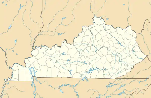 Thornton Location in Kentucky  Thornton Location in the United States | |
| Coordinates: 37°8′51″N 82°46′11″W / 37.14750°N 82.76972°W | |
| Country | United States |
| State | Kentucky |
| County | Letcher |
| Elevation | 1,240 ft (380 m) |
| Time zone | UTC-5 (Eastern (EST)) |
| • Summer (DST) | UTC-4 (EDT) |
| ZIP codes | 41855 |
| GNIS feature ID | 503177[1] |
Thornton is an unincorporated community and coal town in Letcher County, Kentucky, United States. Their post office closed in November 2008 [2]
References
Municipalities and communities of Letcher County, Kentucky, United States | ||
|---|---|---|
| Cities |  Location of Letcher County, Kentucky | |
| CDPs | ||
| Unincorporated communities | ||
| Ghost towns | ||
This article is issued from Wikipedia. The text is licensed under Creative Commons - Attribution - Sharealike. Additional terms may apply for the media files.