Ti Rocher, Micoud | |
|---|---|
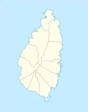 Ti Rocher, Micoud Location of Ti Rocher in the Micoud District, Saint Lucia | |
| Coordinates: 13°49′02″N 60°55′43″W / 13.81734°N 60.92858°W | |
| Country | Saint Lucia |
| Quarter | Micoud |
| Elevation | 106 m (348 ft) |
| Population (2010) | |
| • Total | 980 |
| [1] | |
| Saint Lucia Post Office Moreau[2] | LC14 101 |
Ti Rocher is a town in the Micoud District of the island nation of Saint Lucia.[1] It is also a 2nd level division in Micoud District.[3]
Geography
The village is located on the heights above the town of Micoud and south of the Troumassee River. The next villages are Moreau (N), Anbre (O), Fond D’Or (S), La Courville (SW), Des Blanchard (SW), und Paix Bouche (W) and Tou Cochan/Ti Rocher (NW).[1][3]
See also
References
- 1 2 3 4 "Ti Rocher". Retrieved August 12, 2021.
- ↑ "Postal Codes". Saint Lucia Post Office. Retrieved August 12, 2021.
- 1 2 "Ti Rocher". GeoNames. Retrieved August 12, 2021.
This article is issued from Wikipedia. The text is licensed under Creative Commons - Attribution - Sharealike. Additional terms may apply for the media files.